-
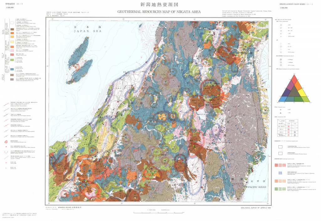
新潟地熱資源図,1:500,000 (1993)
地質調査総合センター名称: 新潟地熱資源図,1:500,000 / Geothermal Resources Map of Niigata Area, 1:500,000 with Explanatory Text 著者: 高橋 正明, 山口 靖, 野田 徹郎, 駒沢 正夫, 村田 泰章, 玉生 志郎 / TAKAHASHI Masaaki, YAMAGUCHI... -
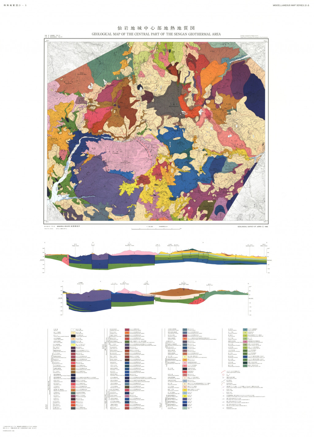
仙岩地域中心部地熱地質図,1:50,000 (1992)
地質調査総合センター名称: 仙岩地域中心部地熱地質図,1:50,000 / Geological Map of the Central Part of the Sengan Geothermal Area, 1:50,000 with Explanatory Text 著者: 須藤 茂 / SUTO Shigeru 発行年: 1992 シリーズ: 特殊地質図 /... -
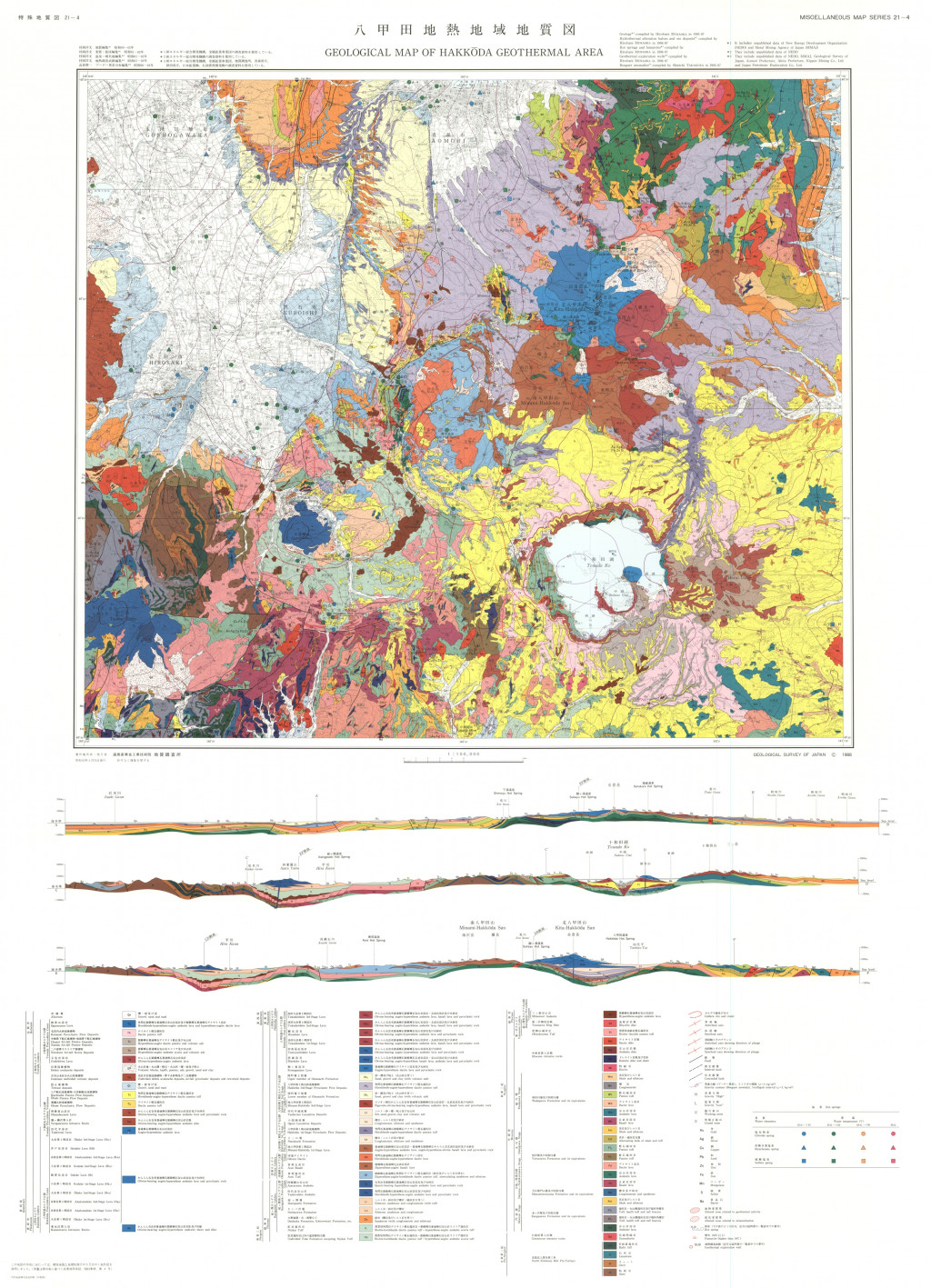
八甲田地熱地域地質図,1;100,000 (1988)
地質調査総合センター名称: 八甲田地熱地域地質図,1;100,000 / Geological Map of Hakkoda Geothermal Area, 1;100,000 with Explanatory Text 著者: 村岡 洋文, 高倉 伸一 / MURAOKA Hirofumi, TAKAKURA Shinichi 発行年: 1988 シリーズ:... -
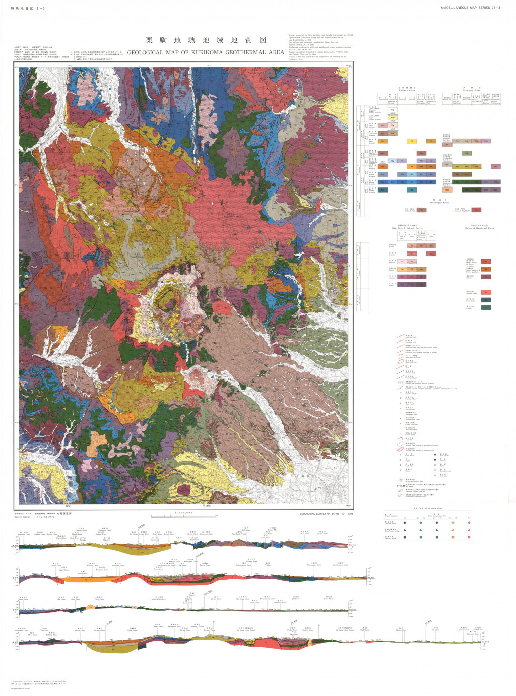
栗駒地熱地域地質図,1:100,000 (1986)
地質調査総合センター名称: 栗駒地熱地域地質図,1:100,000 / Geological Map of Kurikoma Geothermal Area, 1:100,000 with Explanatory Text 著者: 山田 営三, 阪口 圭一, 高島 勲, 阿部 喜久男, 比留川 貴, 駒沢 正夫, 須田 芳朗, 村田 泰章 / YAMADA Eizo,... -
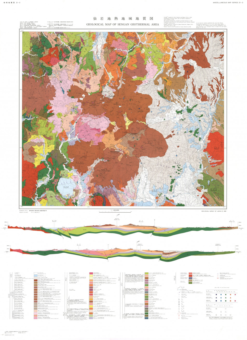
仙岩地熱地域地質図,1:100,000 (1985)
地質調査総合センター名称: 仙岩地熱地域地質図,1:100,000 / Geological Map of Sengan Geothermal Area, 1:100,000 with Explanatory Text 著者: 上村 不二雄, 須藤 茂, 金原 啓司, 茂野 博, 駒沢 正夫, 須田 芳朗, 菊地 恒夫 / UEMURA Fujio, SUTO... -
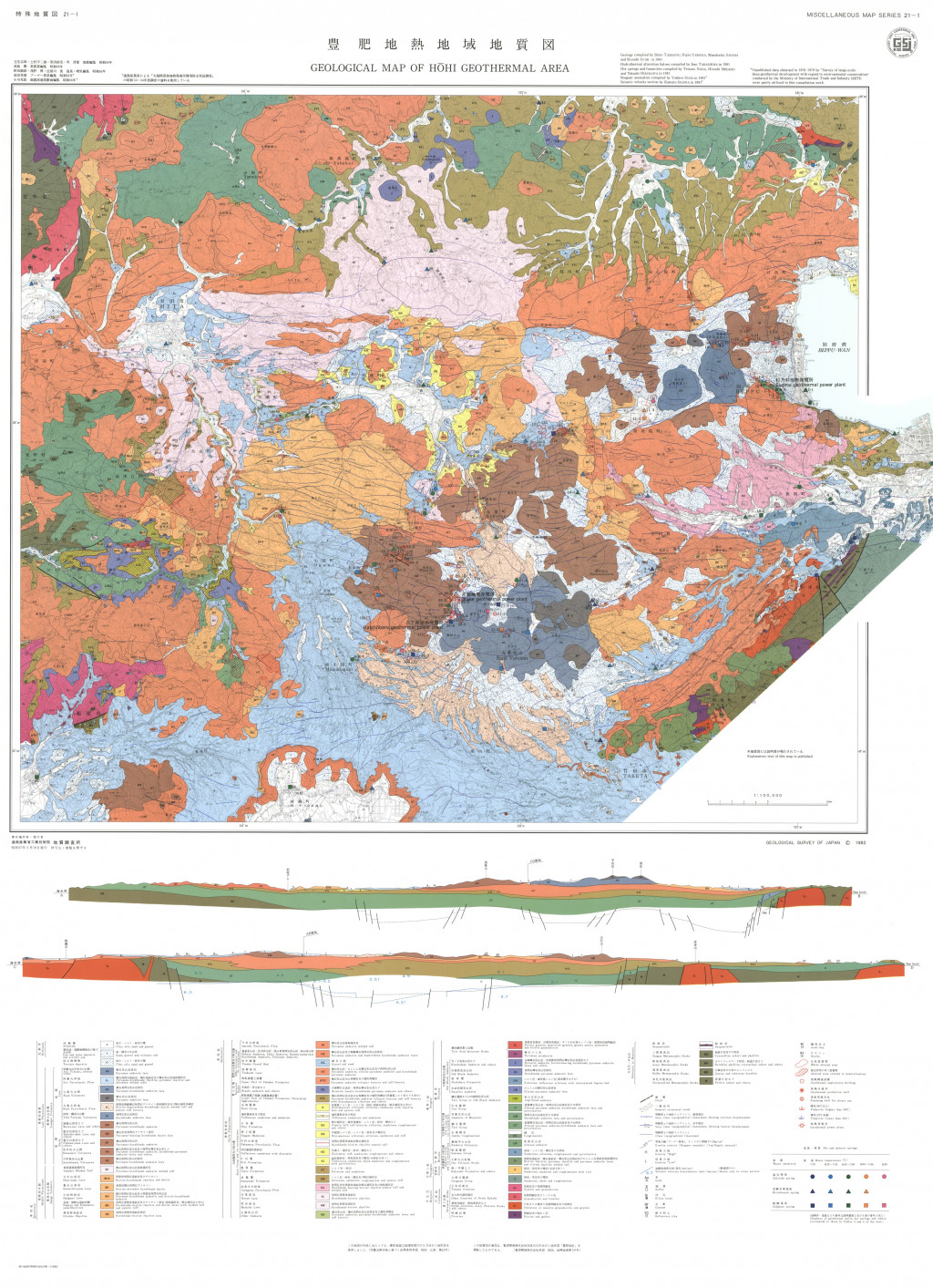
豊肥地熱地域地質図,1:100,000 (1982)
地質調査総合センター名称: 豊肥地熱地域地質図,1:100,000 / Geological Map of Hohi Geothermal Area, 1:100,000 with Explanatory Text 著者: 玉生 志郎, 上村 不二雄, 笹田 政克, 角 清愛, 高島 勲, 野田 徹郎, 茂野 博, 比留川 貴, 須田 芳朗, 小川 克郎 /... -
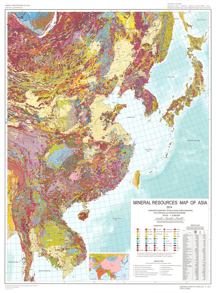
Mineral Resources Map of Asia 1:5,000,000 (2014)
地質調査総合センター名称: Mineral Resources Map of Asia 1:5,000,000 / Mineral Resources Map of Asia 1:5,000,000 著者: KAMITANI Masaharu, OHNO Tetsuji, OKUMURA Kimio, TERAOKA Yoji, WATANABE Yasushi /... -
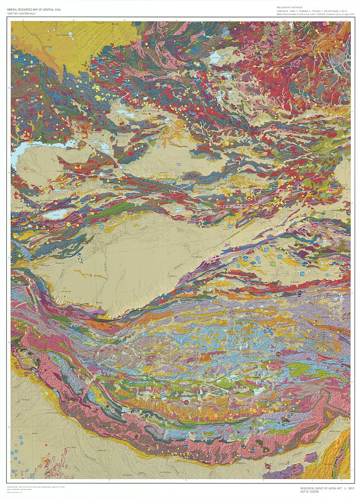
Mineral Resources Map of Central Asia (2012)
地質調査総合センター名称: Mineral Resources Map of Central Asia / Mineral Resources Map of Central Asia 著者: KAMITANI Masaharu, OHONO Tetsuji, OKUMURA Kimio, TERAOKA Yoji, WATANABE Yashushi / KAMITANI... -
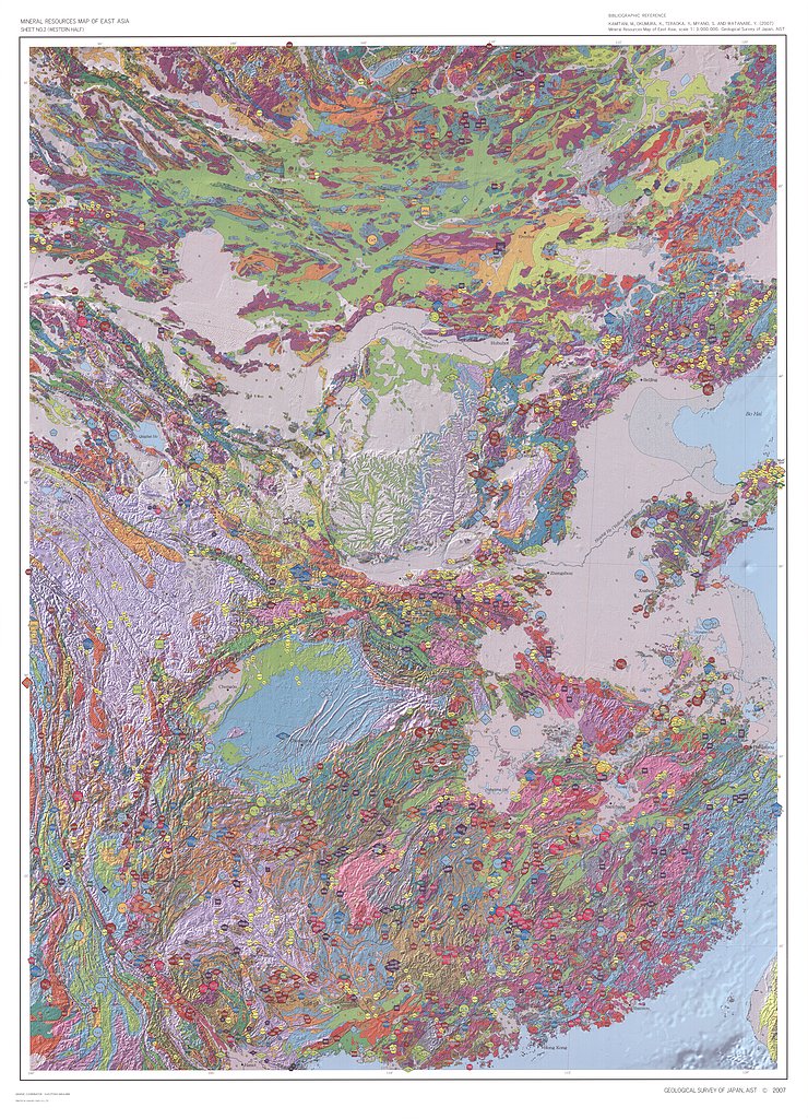
Mineral Resources Map of East Asia (2007)
地質調査総合センター名称: Mineral Resources Map of East Asia / Mineral Resources Map of East Asia 著者: KAMITANI Masaharu, OKUMURA Kimio, TERAOKA Yoji, MIYANO Sumiko, WATANABE Yasushi / KAMITANI... -
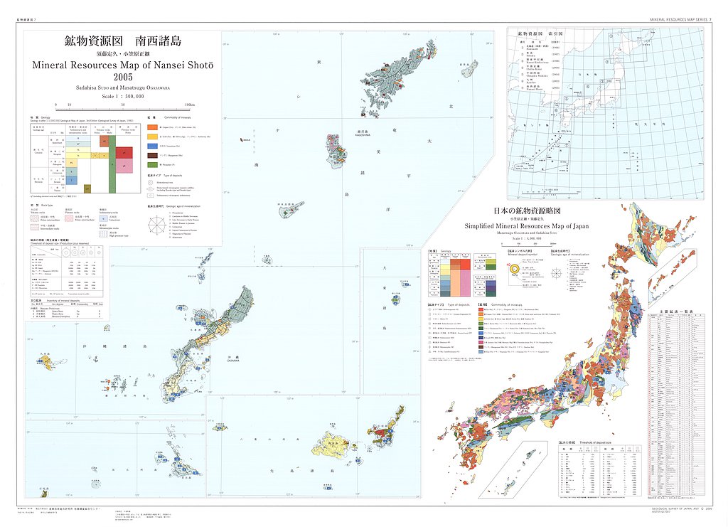
南西諸島,1:500,000(付 日本の鉱物資源略図) (2005)
地質調査総合センター名称: 南西諸島,1:500,000(付 日本の鉱物資源略図) / Mineral Resources Map of Nansei Shoto, 1:500,000 (with Simplified Mineral Resources Map of Japan) 著者: 須藤 定久, 小笠原 正継 / SUDO Sadahisa, OGASAWARA... -
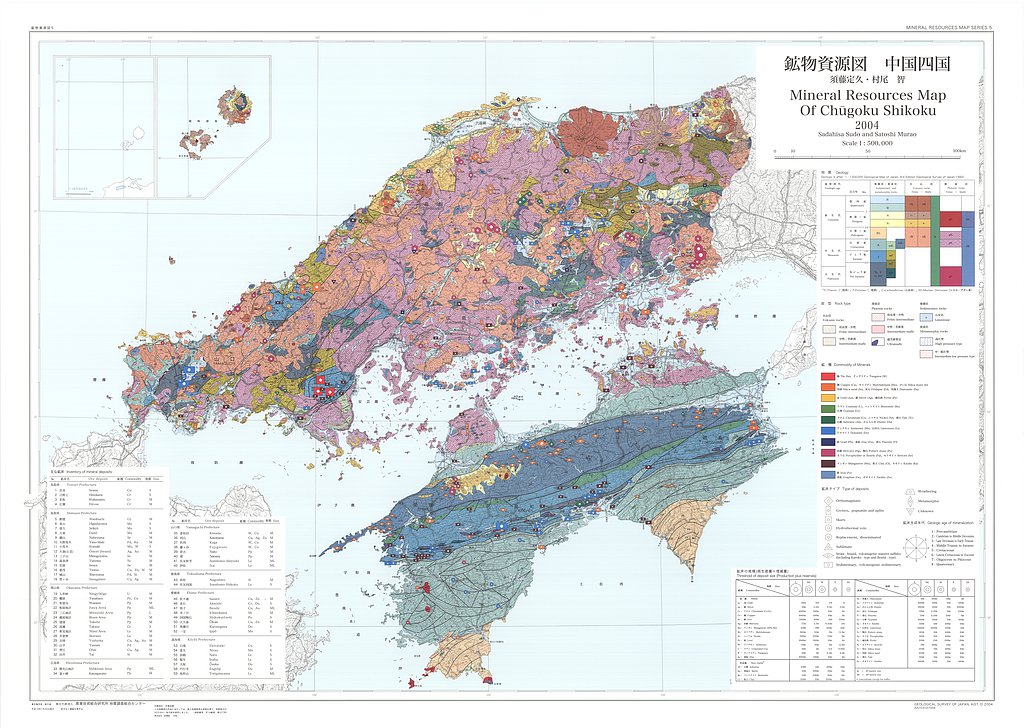
中国四国,1:500,000 (2004)
地質調査総合センター名称: 中国四国,1:500,000 / Mineral Resources Map of Chugoku Shikoku, 1:500,000 著者: 須藤 定久, 村尾 智 / SUDO Sadahisa, MURAO Satoshi 発行年: 2004 シリーズ: 鉱物資源図 / Mineral Resources Map Series 発行者:... -
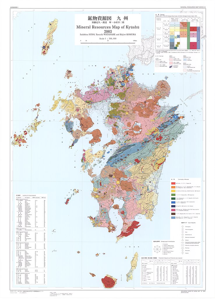
九州,1:500,000 (2003)
地質調査総合センター名称: 九州,1:500,000 / Mineral Resources Map of Kyushu, 1:500,000 著者: 須藤 定久, 渡辺 寧, 小村 幸二郎 / SUDO Sadahisa, WATANABE Yasushi, KOMURA Kojiro 発行年: 2003 シリーズ: 鉱物資源図 / Mineral Resources... -
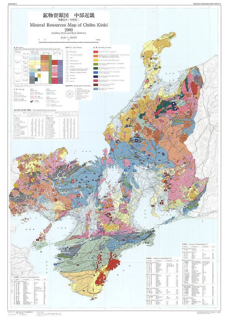
中部近畿, 1:500,000 (2000)
地質調査総合センター名称: 中部近畿, 1:500,000 / Mineral Resources Map of Chubu Kinki, 1:500,000 著者: 須藤 定久, 小村 良二 / SUDO Sadahisa, KOMURA Ryoji 発行年: 2000 シリーズ: 鉱物資源図 / Mineral Resources Map Series 発行者:... -
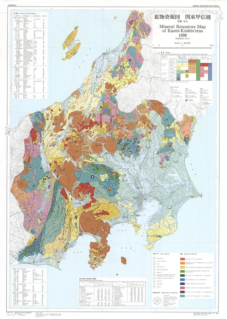
関東甲信越,1:500,000 (1998)
地質調査総合センター名称: 関東甲信越,1:500,000 / Mineral Resources Map of Kanto-Koshin etsu, 1:500,000 著者: 須藤 定久 / SUDO Sadahisa 発行年: 1998 シリーズ: 鉱物資源図 / Mineral Resources Map Series 発行者: 地質調査所 /... -
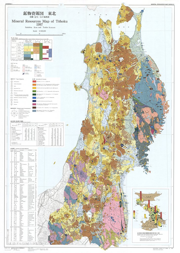
東北,1:500,000 (1997)
地質調査総合センター名称: 東北,1:500,000 / Mineral Resources Map of Tohoku, 1:500,000 著者: 須藤 定久, 五十嵐 俊雄 / SUDO Sadahisa, IGARASHI Toshio 発行年: 1997 シリーズ: 鉱物資源図 / Mineral Resources Map Series 発行者: 地質調査所... -
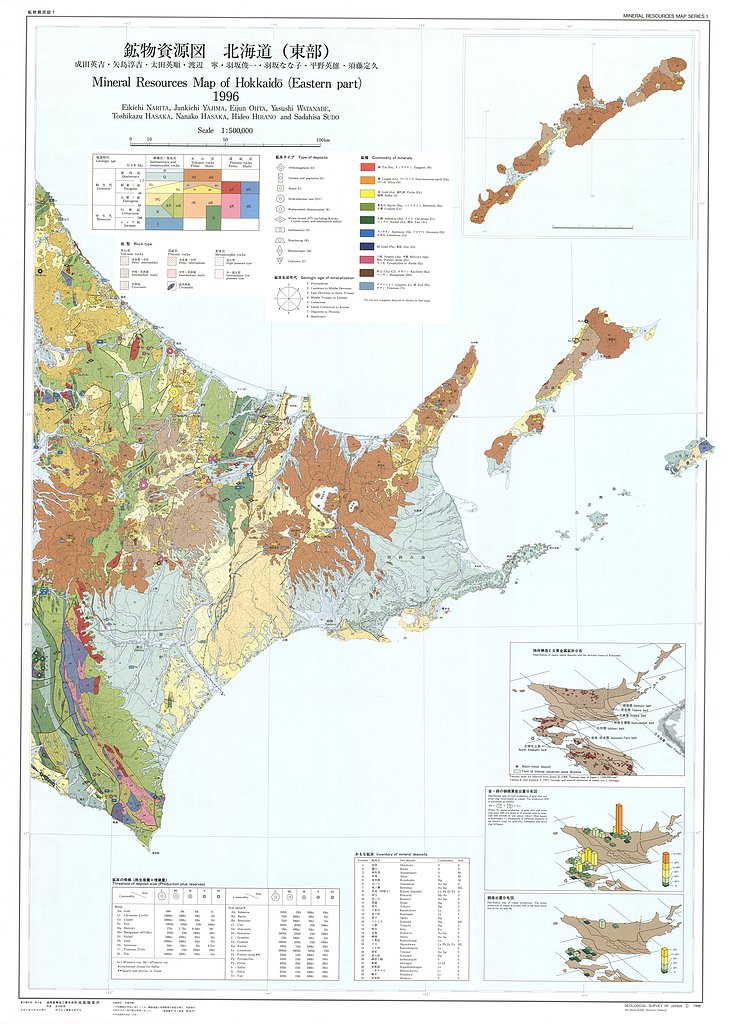
北海道(東部・西部),1:500,000 (1996)
地質調査総合センター名称: 北海道(東部・西部),1:500,000 / Mineral Resources Map of Hokkaido (Eastern Part . Western Part), 1:500,000 著者: 成田 英吉, 矢島 淳吉, 太田 英順, 渡辺 寧, 羽坂 俊一, 羽坂 なな子, 平野 英雄, 須藤 定久 / NARITA... -
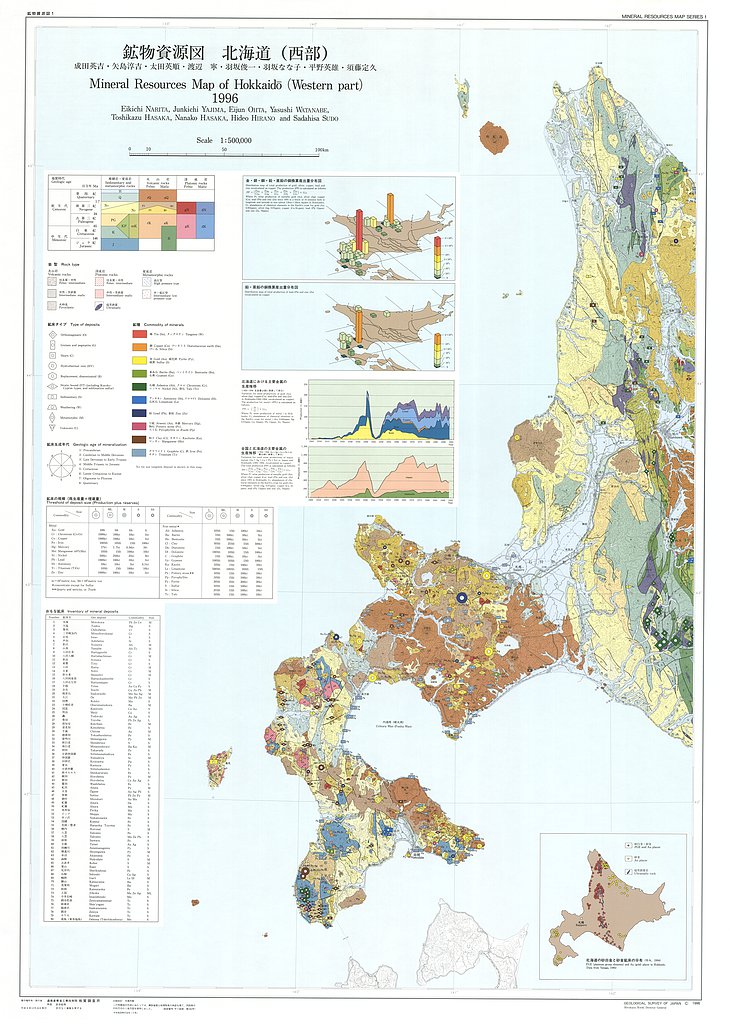
北海道(東部・西部),1:500,000 (1996)
地質調査総合センター名称: 北海道(東部・西部),1:500,000 / Mineral Resources Map of Hokkaido (Eastern Part . Western Part), 1:500,000 著者: 成田 英吉, 矢島 淳吉, 太田 英順, 渡辺 寧, 羽坂 俊一, 羽坂 なな子, 平野 英雄, 須藤 定久 / NARITA... -
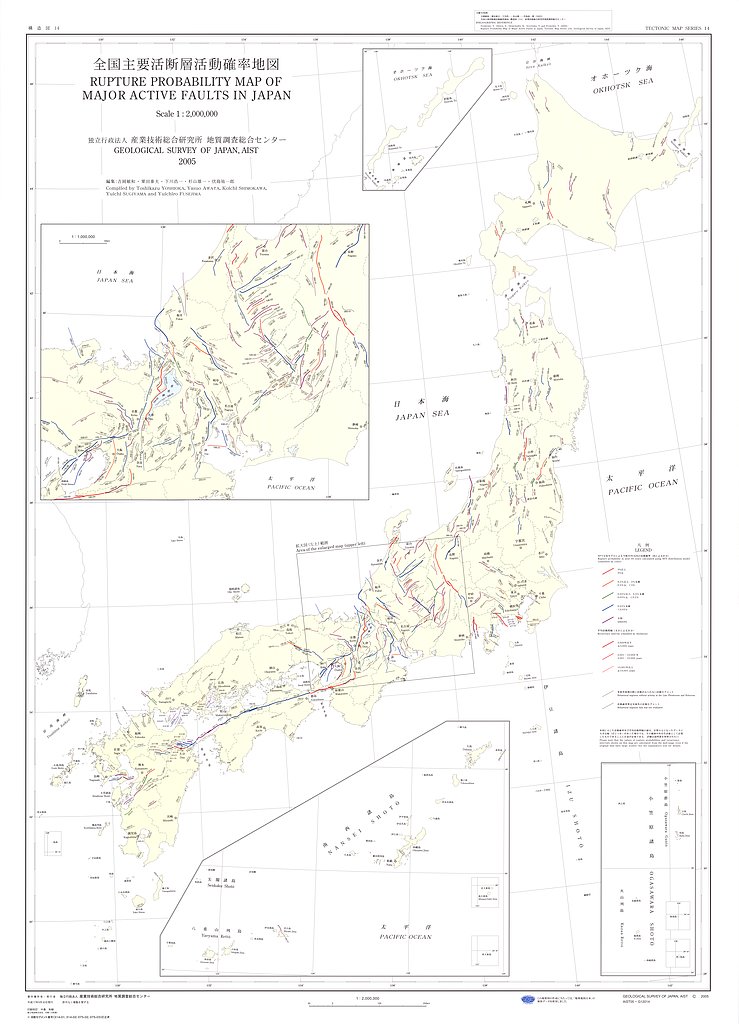
全国主要活断層活動確率地図,1:2,000,000 (2005)
地質調査総合センター名称: 全国主要活断層活動確率地図,1:2,000,000 / Rupture Probability Map of Major Active Faults in Japan 1:2,000,000 著者: 吉岡 敏和, 粟田 泰夫, 下川 浩一, 杉山 雄一, 伏島 祐一郎 / YOSHIOKA Toshikazu, AWATA Yasuo,... -
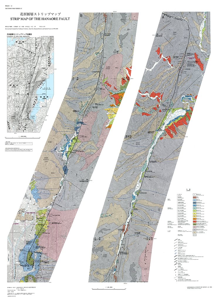
花折断層ストリップマップ,1:25,000 (2000)
地質調査総合センター名称: 花折断層ストリップマップ,1:25,000 / Strip Map of the Hanaore Fault, 1:25,000 著者: 吉岡 敏和, 長 秋雄, 木村 克己, 中江 訓 / YOSHIOKA Toshikazu, CHO Akio, KIMURA Katsumi, NAKAE Satoshi 発行年: 2000 シリーズ:... -
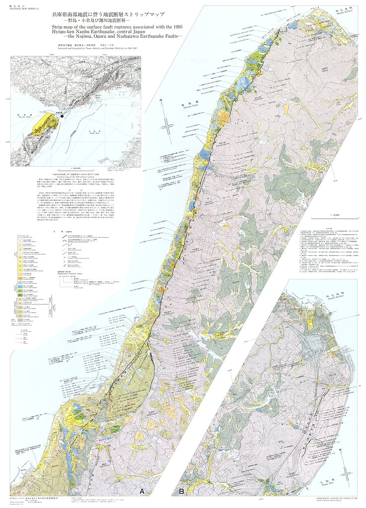
兵庫県南部地震に伴う地震断層ストリップマップ−−野島・小倉及び灘川地震断層−−,1:10,000 (1998)
地質調査総合センター名称: 兵庫県南部地震に伴う地震断層ストリップマップ−−野島・小倉及び灘川地震断層−−,1:10,000 / Strip Map of the Surface Fault Ruptures Associated with the 1995 Hyogo-ken Nanbu Earthquake, Central Japan - the Nojima,...
