-
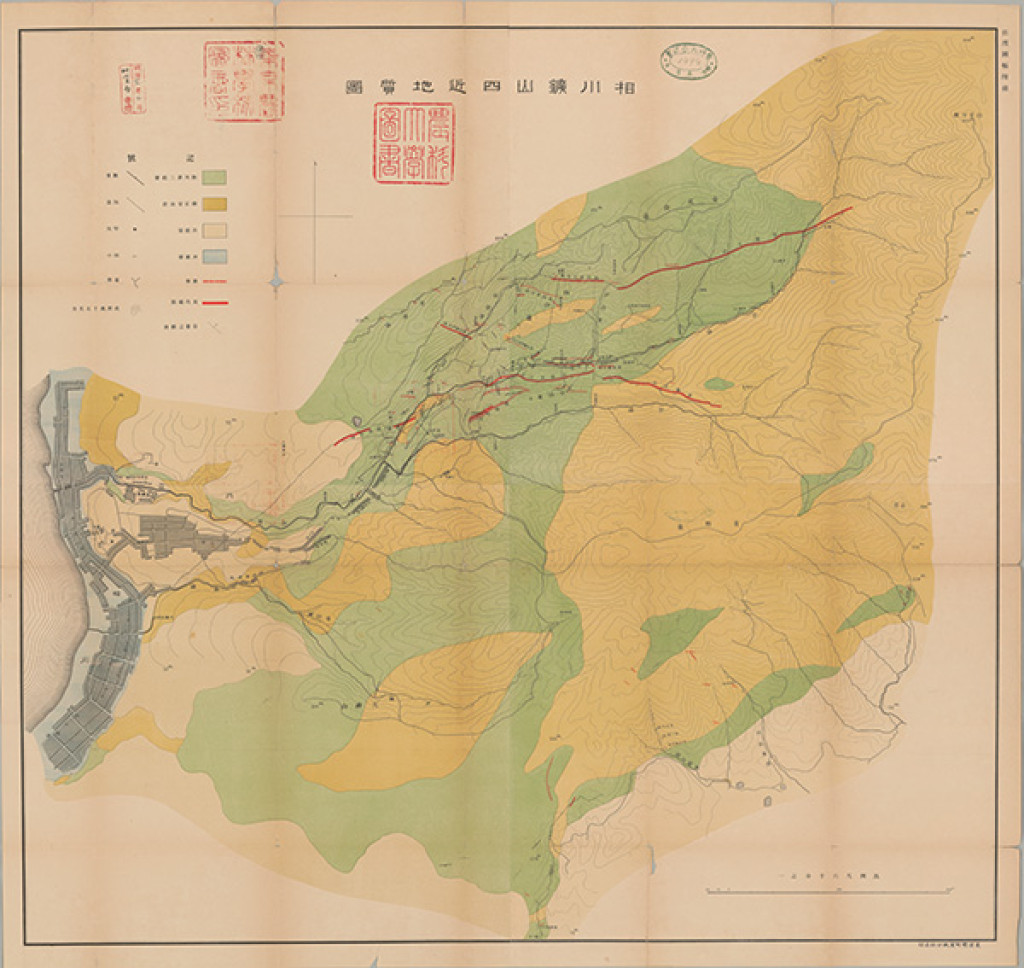
相川鉱山四近地質図 1:6千 (1989)
地質調査総合センター名称: 相川鉱山四近地質図 1:6千 / Geological Map of Aikawa Mine 著者: 発行年: 1989 シリーズ: 特殊地質図 / Miscellaneous Map 発行者: 農商務省 (東京大学農学生命科学図書館所蔵資料) マップ情報:... -

関東平野中央部の地下地質情報 (2014)
地質調査総合センター名称: 関東平野中央部の地下地質情報 / Integral research and application of the subsurface geology "the central Kanto Plain" 著者: 発行年: 2014 シリーズ: 特殊地質図 / Miscellaneous Map 発行者: マップ情報:... -
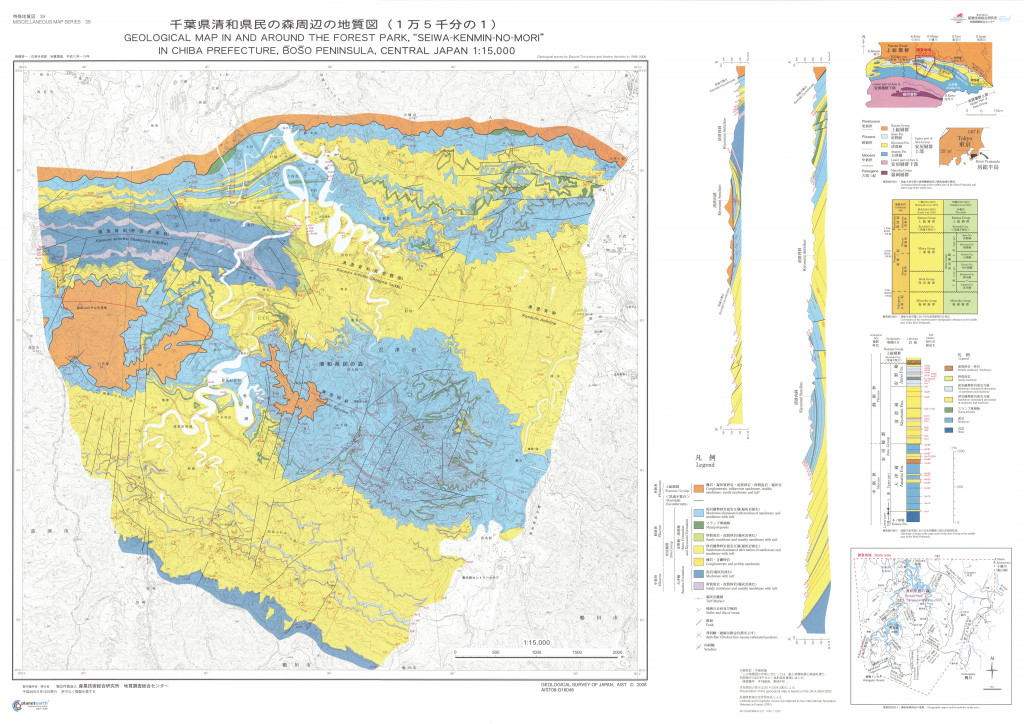
千葉県清和県民の森周辺の地質図 1:1.5万 (2008)
地質調査総合センター名称: 千葉県清和県民の森周辺の地質図 1:1.5万 / Geological Map in and Around the Forest Park, "Seiwa-Kenmin-no-Mori" in Chiba Prefecture, Boso Peninsula, Central Japan 著者: 発行年: 2008 シリーズ:... -
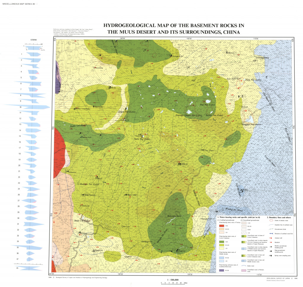
中国モウス沙漠および周辺地域の水文環境図 1:50万 (1998)
地質調査総合センター名称: 中国モウス沙漠および周辺地域の水文環境図 1:50万 / Hydro-Environmental Maps of the Muus Desert and its Surroundings, China 著者: 発行年: 1998 シリーズ: 特殊地質図 / Miscellaneous Map 発行者: マップ情報:... -
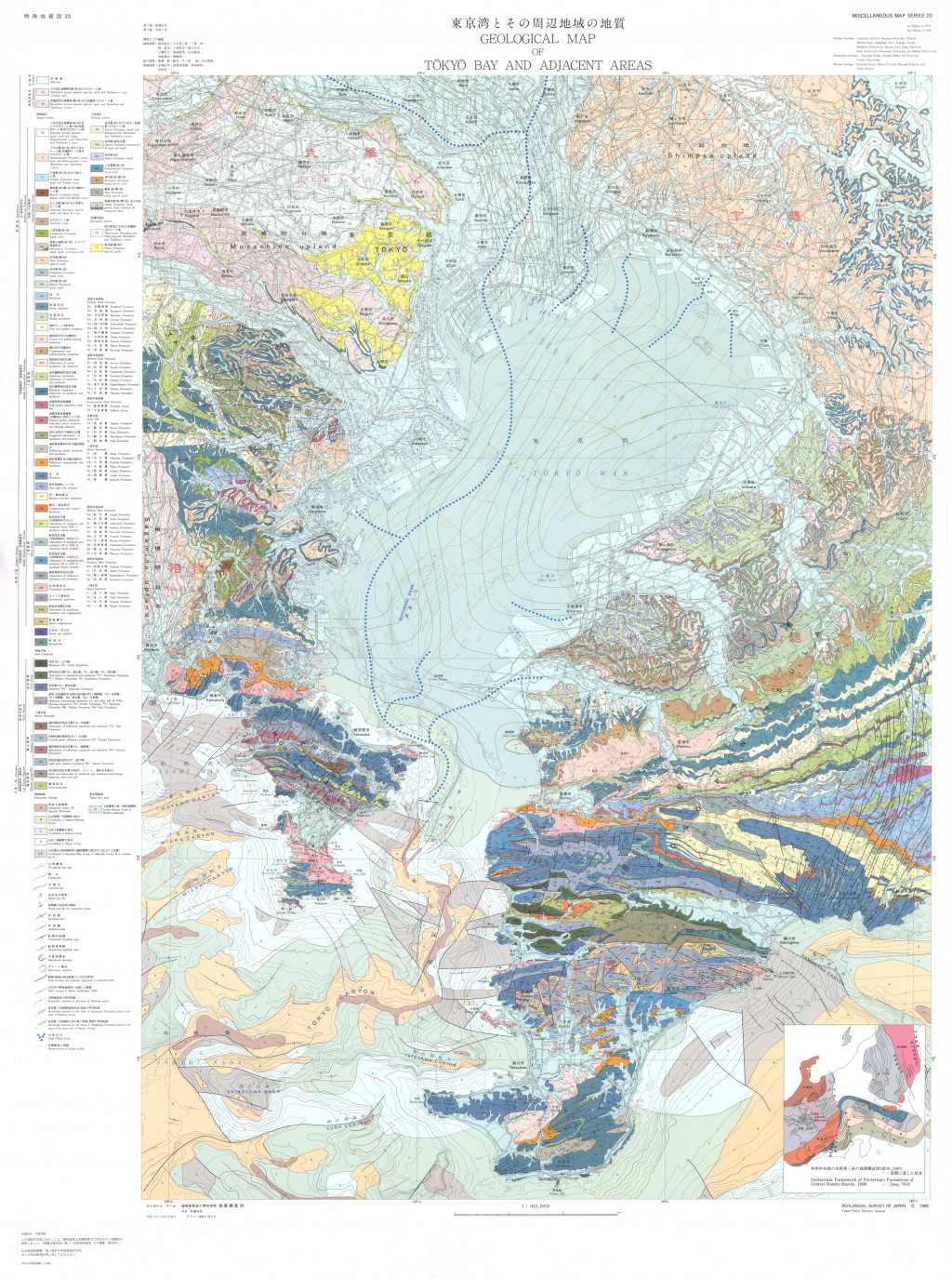
東京湾とその周辺地域の地質,1:100,000(第2版) (1995)
地質調査総合センター名称: 東京湾とその周辺地域の地質,1:100,000(第2版) / Geological Map of Tokyo Bay and Adjacent Areas 1:100,000 (2nd Edition) 著者: 鈴木 尉元, 小玉 喜三郎, 三梨 昂, 岡 重文, 卜部 厚志, 遠藤 毅, 堀口 万吉, 江藤 哲人, 菊地 隆男, 山内 靖喜,... -
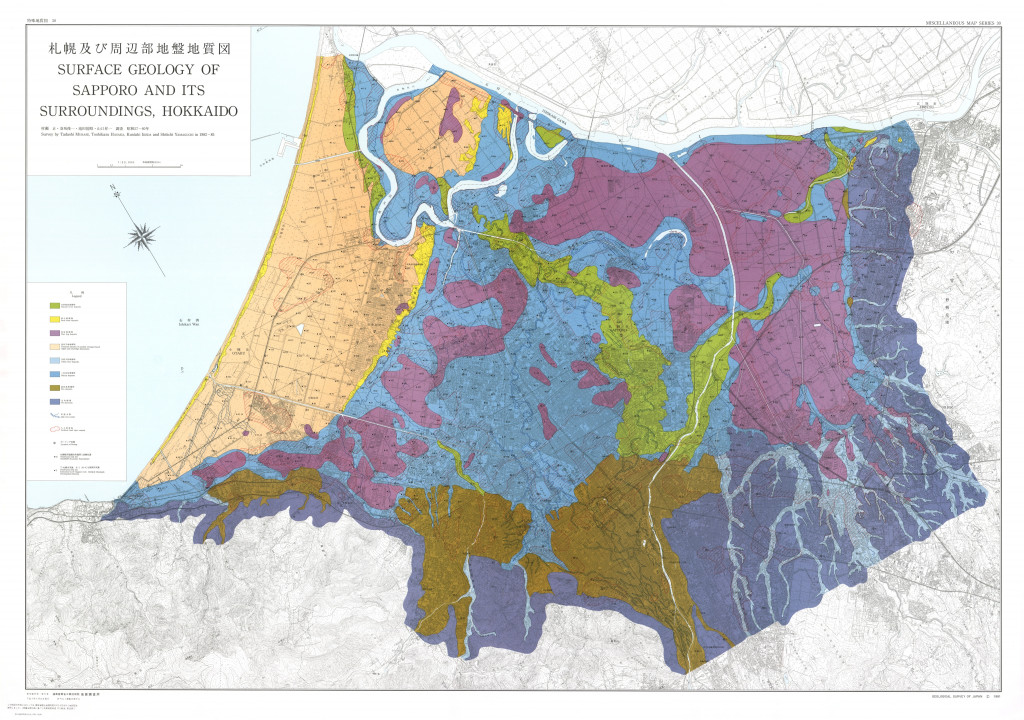
札幌及び周辺部地盤地質図,1:30,000 (1991)
地質調査総合センター名称: 札幌及び周辺部地盤地質図,1:30,000 / Surface Geology of Sapporo and its Surroundings, Hokkaido, 1:30,000, and Explanatory Text 著者: 村瀬 正, 羽坂 俊一, 池田 国昭, 山口 昇一 / MURASE Tadashi, HASAKA... -
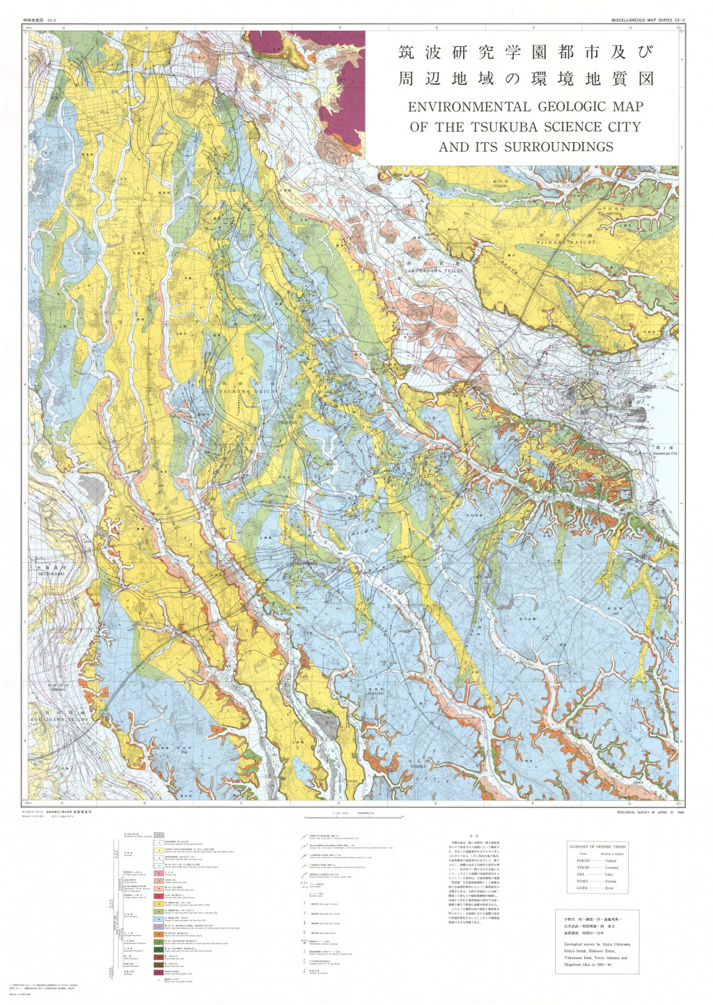
筑波研究学園都市及び周辺地域の環境地質図 1:2.5万 (1988)
地質調査総合センター名称: 筑波研究学園都市及び周辺地域の環境地質図 1:2.5万 / Environmental Geologic Map of the Tsukuba Science City and its Surroundings 著者: 発行年: 1988 シリーズ: 特殊地質図 / Miscellaneous Map 発行者: マップ情報:... -
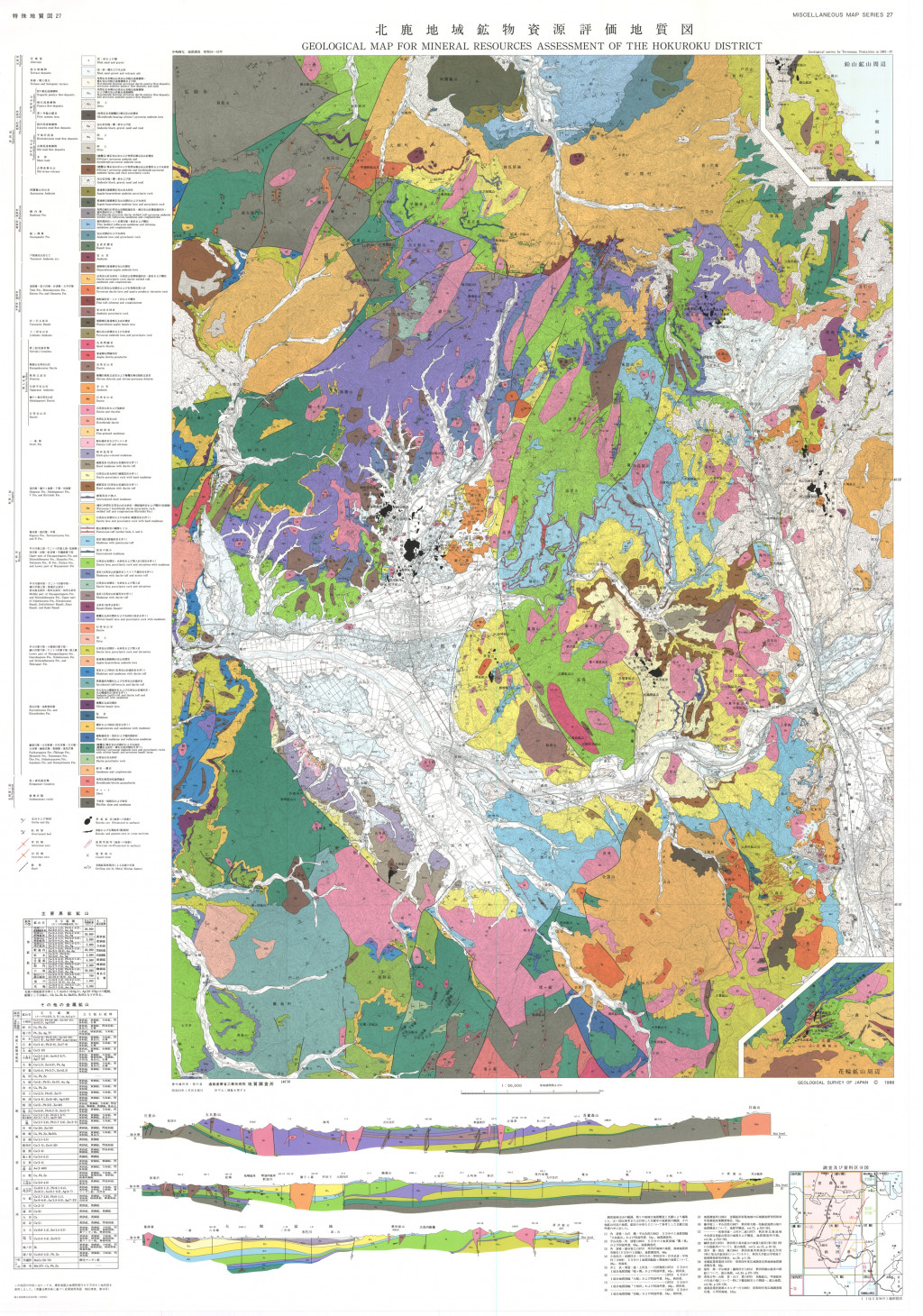
北鹿地域鉱物資源評価地質図,1:50,000 (1989)
地質調査総合センター名称: 北鹿地域鉱物資源評価地質図,1:50,000 / Geological Map for Mineral Resources Assessment of the Hokuroku District, 1:50,000 著者: 中嶋 輝允 / NAKAJIMA Terumasa 発行年: 1989 シリーズ: 特殊地質図 /... -
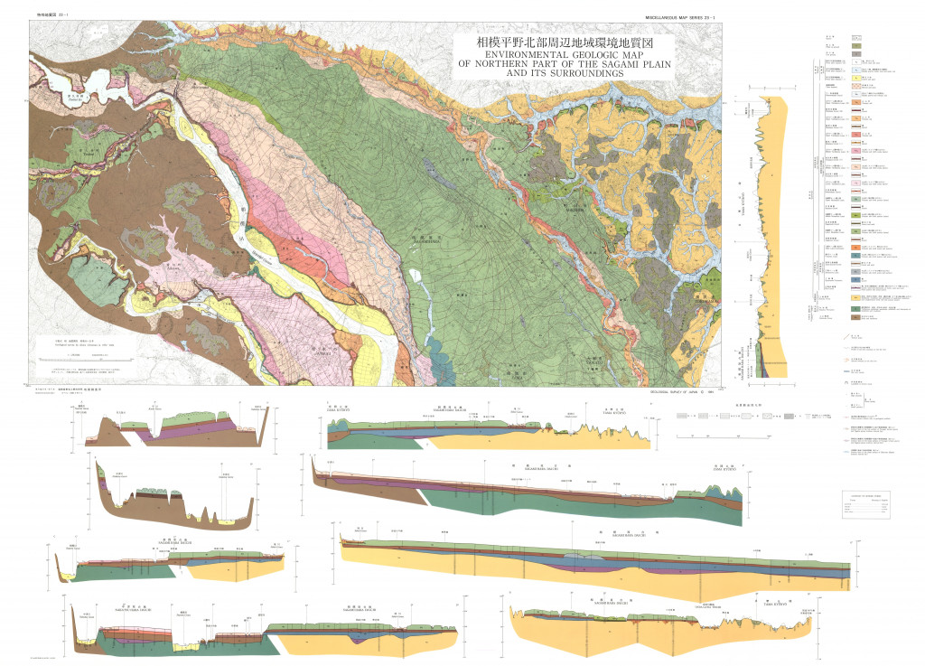
相模平野北部周辺地域環境地質図,1:25,000 (1984)
地質調査総合センター名称: 相模平野北部周辺地域環境地質図,1:25,000 / Environmental Geologic Map of Northern Part of the Sagami Plain and Its Surroundings, 1:25,000 with Explanatory Text 著者: 宇野沢 昭 / UNOZAWA Akira... -
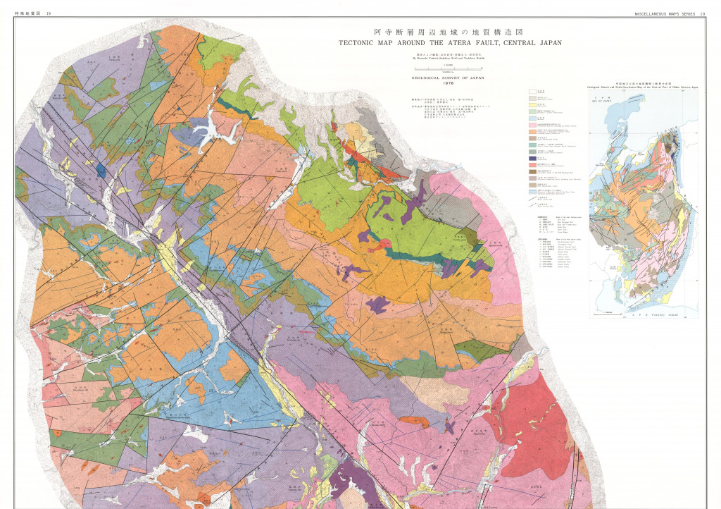
阿寺断層周辺地域の地質構造図,1:50,000 (1976)
地質調査総合センター名称: 阿寺断層周辺地域の地質構造図,1:50,000 / Tectonic Map Around the Atera Fault, Central Japan, 1:50,000 著者: 山田 直利, 須藤 定久, 垣見 俊弘 / YAMADA Naotoshi, SUDO Sadahisa, KAKIMI Toshihiro 発行年: 1976... -
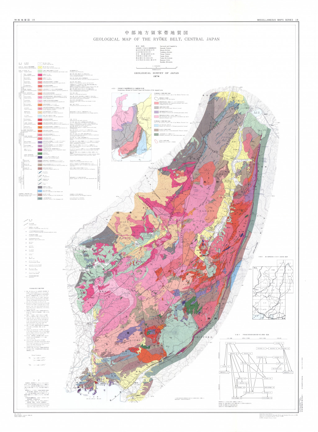
中部地方領家帯地質図,1:200,000 (1974)
地質調査総合センター名称: 中部地方領家帯地質図,1:200,000 / Geological Map of the Ryoke Belt, Central Japan, 1:200,000 著者: 山田 直利, 片田 正人, 端山 好和, 山田 哲雄, 仲井 豊, 沓掛 俊夫, 諏訪 兼位, 宮川 邦彦 / YAMADA Naotoshi, KATADA Masato,... -
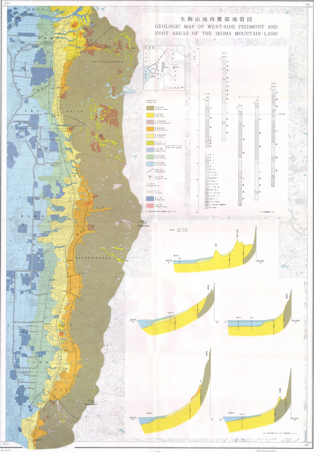
生駒山地西麓部地質図,1:25,000「生駒山地西麓の地形と地質−−山麓堆積地の地質研究の一方法−−」 (1972)
地質調査総合センター名称: 生駒山地西麓部地質図,1:25,000「生駒山地西麓の地形と地質−−山麓堆積地の地質研究の一方法−−」 / Geologic Map of West-Side Piedmont and Foot Areas of the Ikoma Mountain-Land, 1:25,000 with Explanatory Text,... -
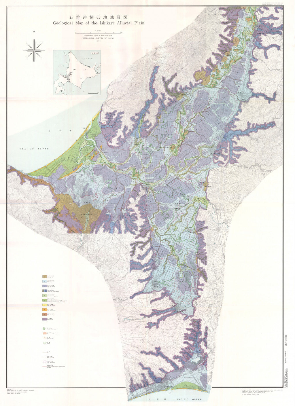
石狩沖積低地地質図,1:100,000,沖積低地の地質調査および地質図表現の新方法について--石狩平野を例として-- (1972)
地質調査総合センター名称: 石狩沖積低地地質図,1:100,000,沖積低地の地質調査および地質図表現の新方法について--石狩平野を例として-- / Geological Map of the Ishikari Alluvial Plain, 1:100,000, On the Introduction of New Methods into Surface... -
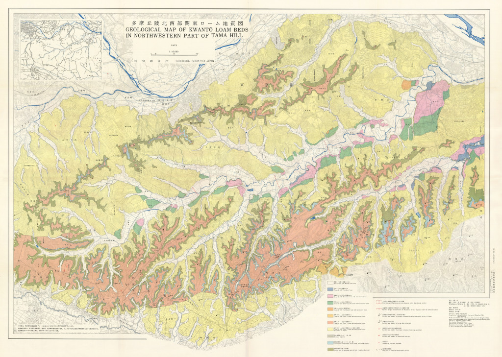
16-1 多摩丘陵北西部関東ローム地質図,1:10,000および補説 (1989)
地質調査総合センター名称: 16-1 多摩丘陵北西部関東ローム地質図,1:10,000および補説 / 16-1 Geological Map of Kwanto Loam Beds in North Western Part of Tama Hill, 1:10,000 著者: 宇野沢 昭, 岡 重文, 黒田 和男 / UNOZAWA Akira, OKA... -
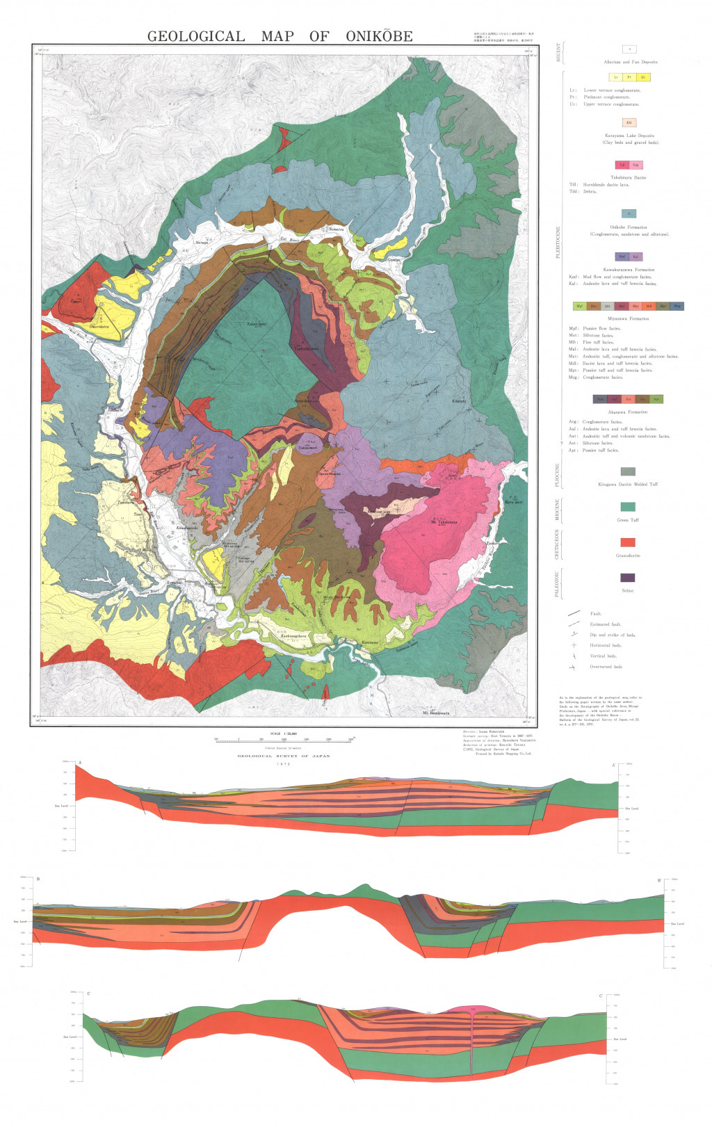
鬼首地質図,1:25,000 (1972)
地質調査総合センター名称: 鬼首地質図,1:25,000 / Geological Map of Onikobe, 1:25,000 著者: 山田 営三 / YAMADA Eizo 発行年: 1972 シリーズ: 特殊地質図 / Miscellaneous Map Series 発行者: 地質調査所 / Geological Survey of Japan マップ情報:... -
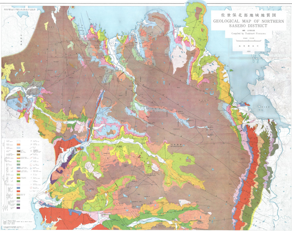
佐世保北部地域地質図,1:25,000 (1970)
地質調査総合センター名称: 佐世保北部地域地質図,1:25,000 / Geological Map of Northern Sasebo District, 1:25,000 著者: 古川 俊太郎 / FURUKAWA Toshitaro 発行年: 1970 シリーズ: 特殊地質図 / Miscellaneous Map Series 発行者: 地質調査所 /... -
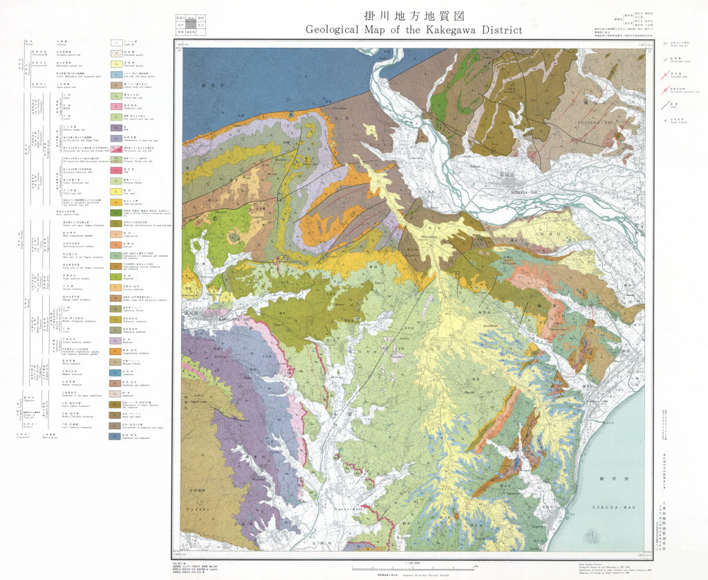
掛川地方地質図,1:50,000 (1963)
地質調査総合センター名称: 掛川地方地質図,1:50,000 / Geological Map of the Kakegawa District, 1:50,000 and Explanatory Text 著者: 槙山 次郎 / Jiro MAKIYAMA 発行年: 1963 シリーズ: 特殊地質図 / Miscellaneous Map Series 発行者:... -
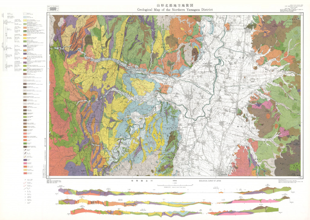
山形市北部地方地質図,1:50,000 (1962)
地質調査総合センター名称: 山形市北部地方地質図,1:50,000 / Geological Map of the Northern Yamagata District with Explanatory Text, 1:50,000 著者: 別所 文吉 / BESSHO Bunkichi 発行年: 1962 シリーズ: 特殊地質図 / Miscellaneous Map... -
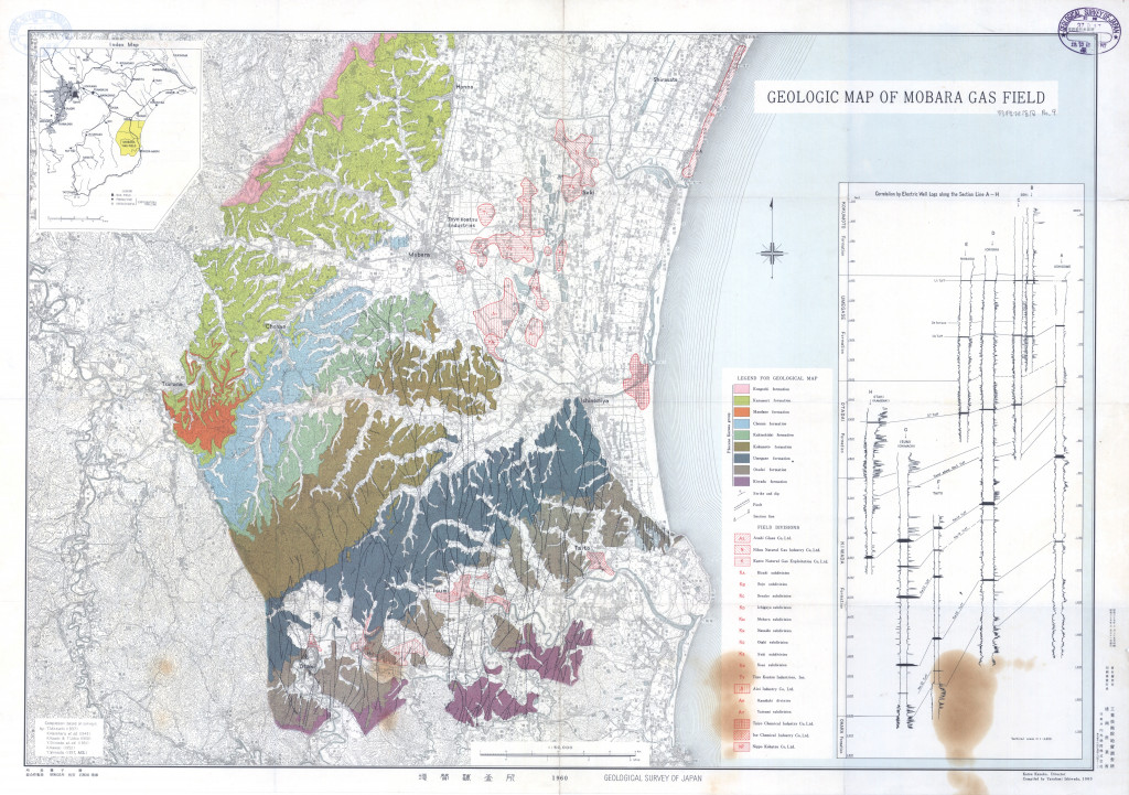
茂原ガス田地質図 (1960)
地質調査総合センター名称: 茂原ガス田地質図 / Geological Map of Mobara Gas Field 著者: 発行年: 1960 シリーズ: 特殊地質図 / Miscellaneous Map 発行者: マップ情報: https://gbank.gsj.jp/ld/resource/publication/map/misc/map1367 -
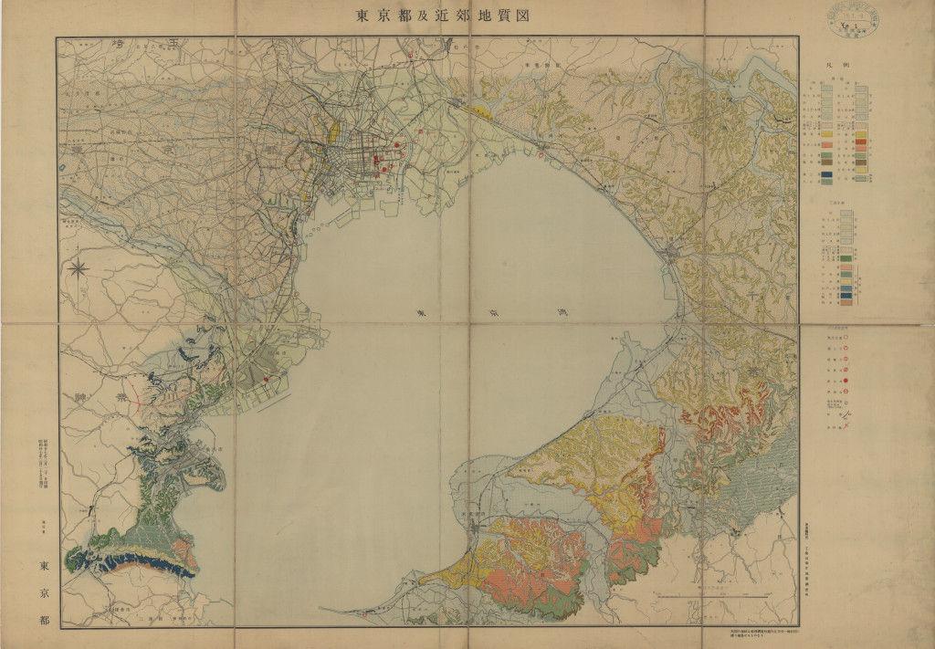
東京都及近郊地質図 1:10万 (1952)
地質調査総合センター名称: 東京都及近郊地質図 1:10万 / Geological Map of Tokyo 著者: 発行年: 1952 シリーズ: 特殊地質図 / Miscellaneous Map 発行者: マップ情報: https://gbank.gsj.jp/ld/resource/publication/map/misc/map1365
