-

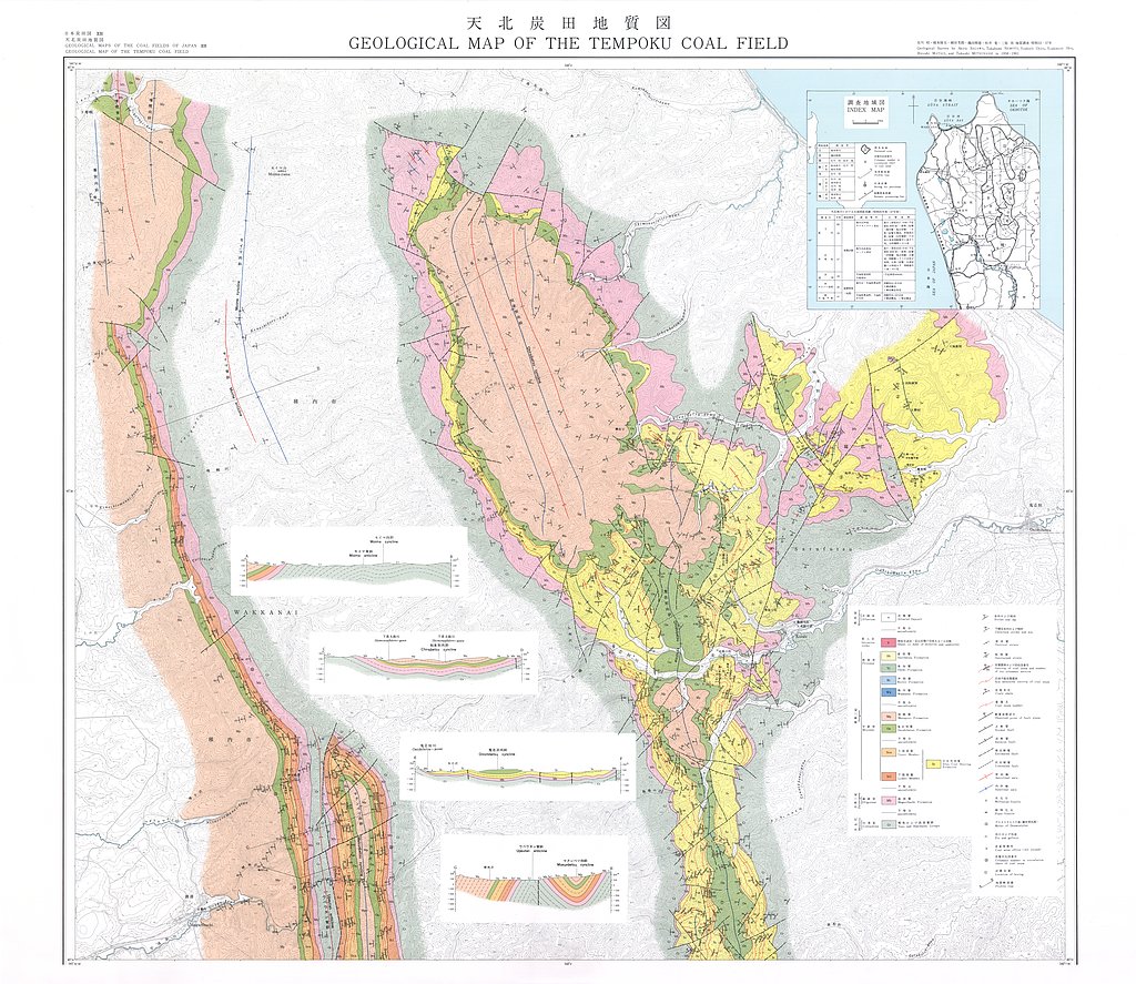
天北炭田地質図,1:25,000, 天北炭田炭層対比図ならびに地区別炭柱図 (1979)
地質調査総合センター名称: 天北炭田地質図,1:25,000, 天北炭田炭層対比図ならびに地区別炭柱図 / Geological Map of the Tempoku Coal Field, Hokkaido, Japan, 1:25,000, Correlation Chart of Coal Seams and Columnar Sections of them in... -

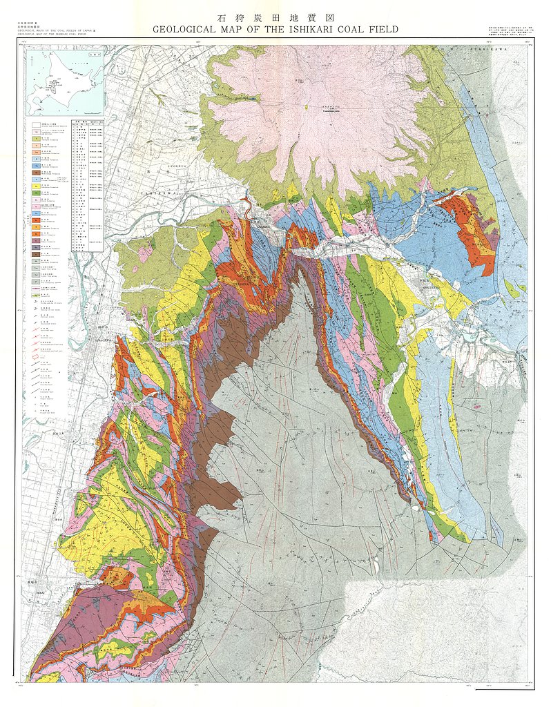
石狩炭田地質図,1:50,000および石狩炭田地質図編集について (1973)
地質調査総合センター名称: 石狩炭田地質図,1:50,000および石狩炭田地質図編集について / Geological Map of Ishikari Coal Field, 1:50,000 著者: 徳永 重元, 坊城 俊厚, 河野 迪也, 佐々木 実, 植田 芳郎, 佐藤 良昭, 井上 英二, 鈴木 泰輔, 尾上 亨, 中尾 征三, 曽我部 正敏, 根本 隆文, 佐川... -

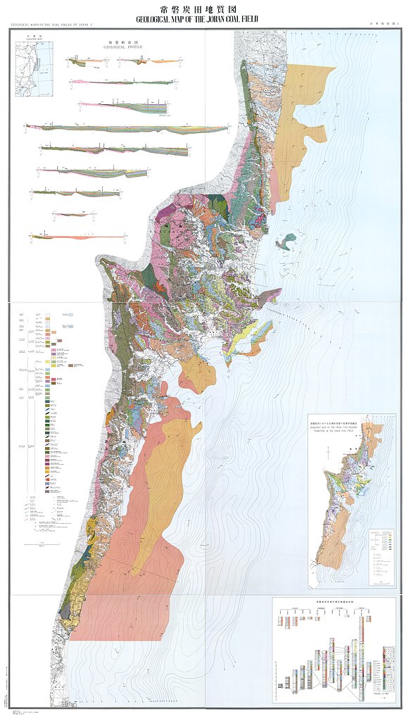
常磐炭田地質図,1:50,000 (1957)
地質調査総合センター名称: 常磐炭田地質図,1:50,000 / Geological Map of the Joban Coal Field, 1:50,000 and Explanatory Text 著者: 須貝 貫二, 松井 寛, 佐藤 茂, 喜多河 庸二, 佐々木 実, 宮下 美智夫, 河内 英幸 / SUGAI Kanji, MATSUI Hiroshi,...
