-

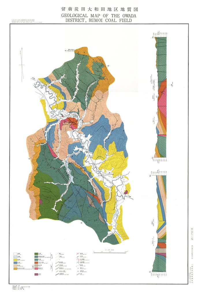
留萌炭田大和田地区地質図,1:25,000 (1959)
地質調査総合センター名称: 留萌炭田大和田地区地質図,1:25,000 / Geological Map of the Owada District, Rumoi Coal Field, Hokkaido, 1:25,000 and Explanatory Text 著者: 一杉 武治, 佐々木 実 / HITOSUGI Takeharu, SASAKI Minoru... -

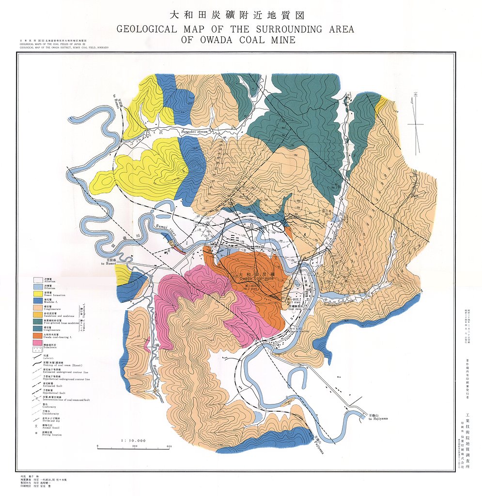
留萌炭田大和田地区地質図,1:25,000 (1959)
地質調査総合センター名称: 留萌炭田大和田地区地質図,1:25,000 / Geological Map of the Owada District, Rumoi Coal Field, Hokkaido, 1:25,000 and Explanatory Text 著者: 一杉 武治, 佐々木 実 / HITOSUGI Takeharu, SASAKI Minoru... -

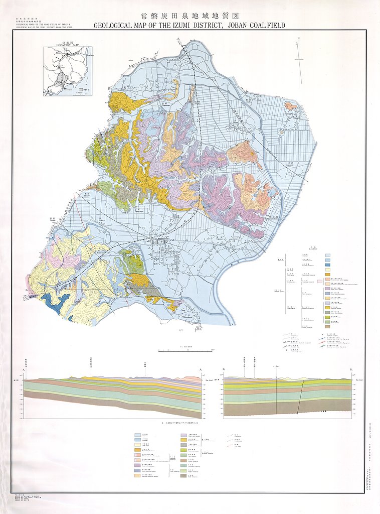
常磐炭田泉地域地質図,1:10,000 (1959)
地質調査総合センター名称: 常磐炭田泉地域地質図,1:10,000 / Geological Map of the Izumi District, Joban Coal Field, 1:10,000, and Explanatory Text 著者: 喜多河 庸二, 鈴木 泰輔 / KITAGAWA Yoji, SUZUKI Taisuke 発行年: 1959...
