-

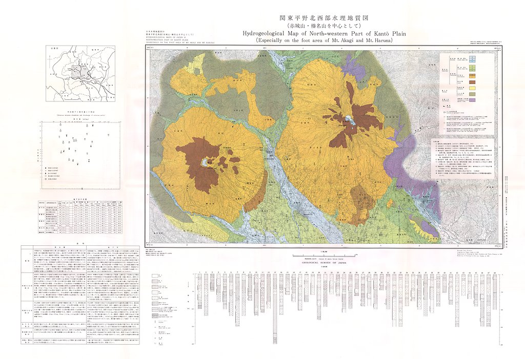
関東平野北西部水理地質図(赤城山・榛名山を中心として),1:100,000 (1966)
地質調査総合センター名称: 関東平野北西部水理地質図(赤城山・榛名山を中心として),1:100,000 / Hydrogeological Map of North-western Part of Kanto Plain ( Especially on the foot area of Mt. Akagi and Mt. Haruna ), 1:100,000 著者:... -

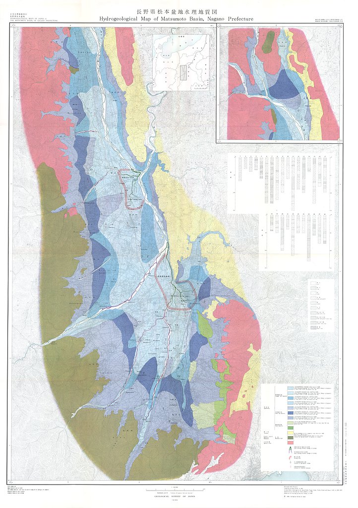
長野県松本盆地水理地質図,1:50,000 (1966)
地質調査総合センター名称: 長野県松本盆地水理地質図,1:50,000 / Hydrogeological Map and Explanatory Text of the Matsumoto Basins, 1:50,000 著者: 岸 和男, 尾崎 次男, 菅野 敏夫, 後藤 隼次 / KISHI Kazuo, OZAKI Tsugio, KANNO Toshio,...
