-
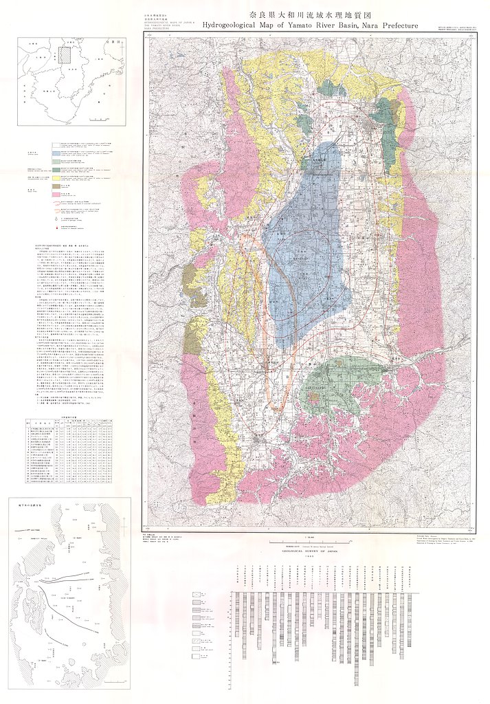
奈良県大和川流域水理地質図,1:50,000 (1965)
地質調査総合センター名称: 奈良県大和川流域水理地質図,1:50,000 / Hydrogeological Map of Yamato River Basin, Nara Prefecture, 1:50,000 著者: 高橋 稠, 池田 喜代治 / TAKAHASHI Shigeru, IKEDA Kiyoji 発行年: 1965 シリーズ: 日本水理地質図 /... -
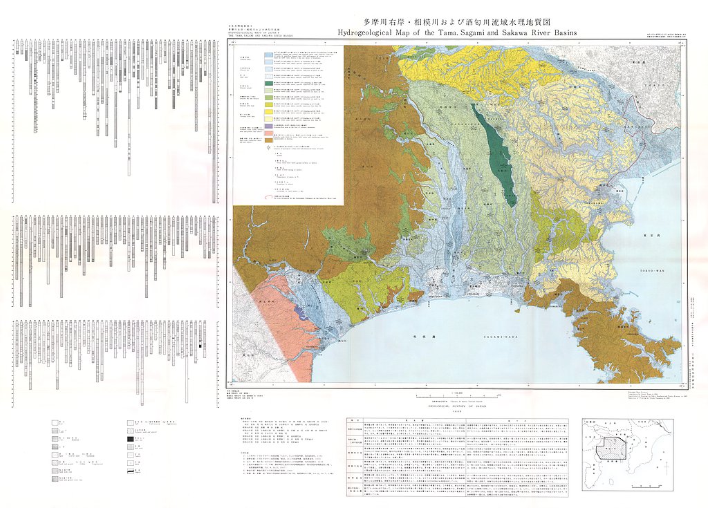
多摩川右岸・相模川および酒匂川流域水理地質図,1:100,000 (1965)
地質調査総合センター名称: 多摩川右岸・相模川および酒匂川流域水理地質図,1:100,000 / Hydrogeological Map of the Tama, Sagami and Sakawa River Basins, 1:100,000 著者: 野間 泰二 / NOMA Yasuji 発行年: 1965 シリーズ: 日本水理地質図 /... -
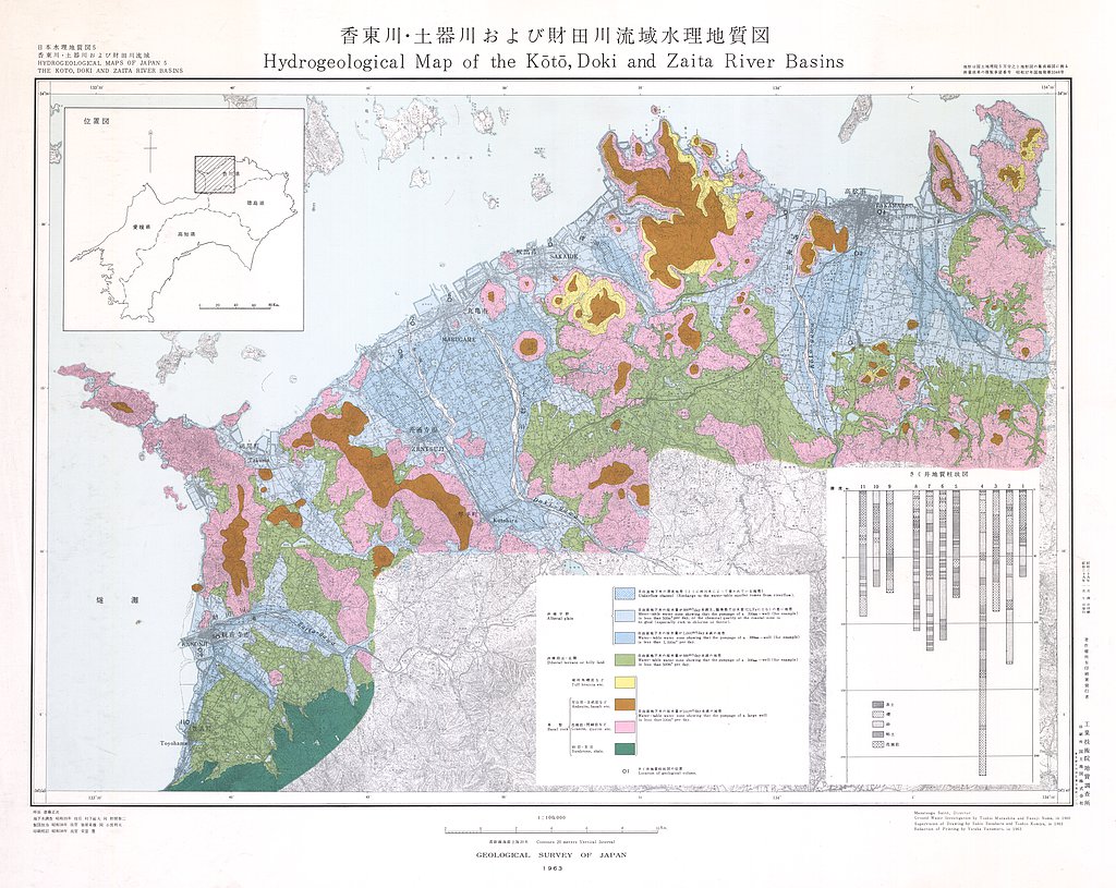
香東川・土器川・財田川流域水理地質図,1:100,000 (1963)
地質調査総合センター名称: 香東川・土器川・財田川流域水理地質図,1:100,000 / Hydrogeological Map and Explanatory Text of the Koto, Doki and Zaita River Basins, 1:100,000 著者: 村下 敏夫, 野間 泰二 / MURASHITA Toshio, NOMA Yasuji... -
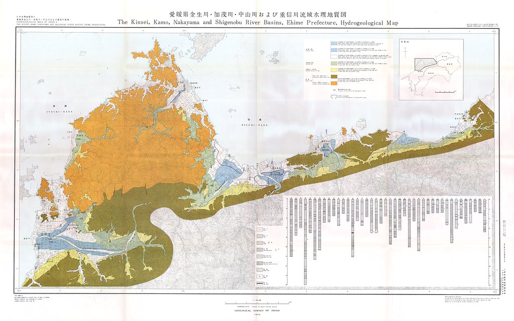
愛媛県金生川・加茂川・中山川・重信川流域水理地質図,1:100,000 (1964)
地質調査総合センター名称: 愛媛県金生川・加茂川・中山川・重信川流域水理地質図,1:100,000 / Hydrogeological Map and Explanatory Text of the Kinsei, Kamo, Nakayama and Shigenobu River Basins, Ehime Prefecture, 1:100,000 著者: 村下... -
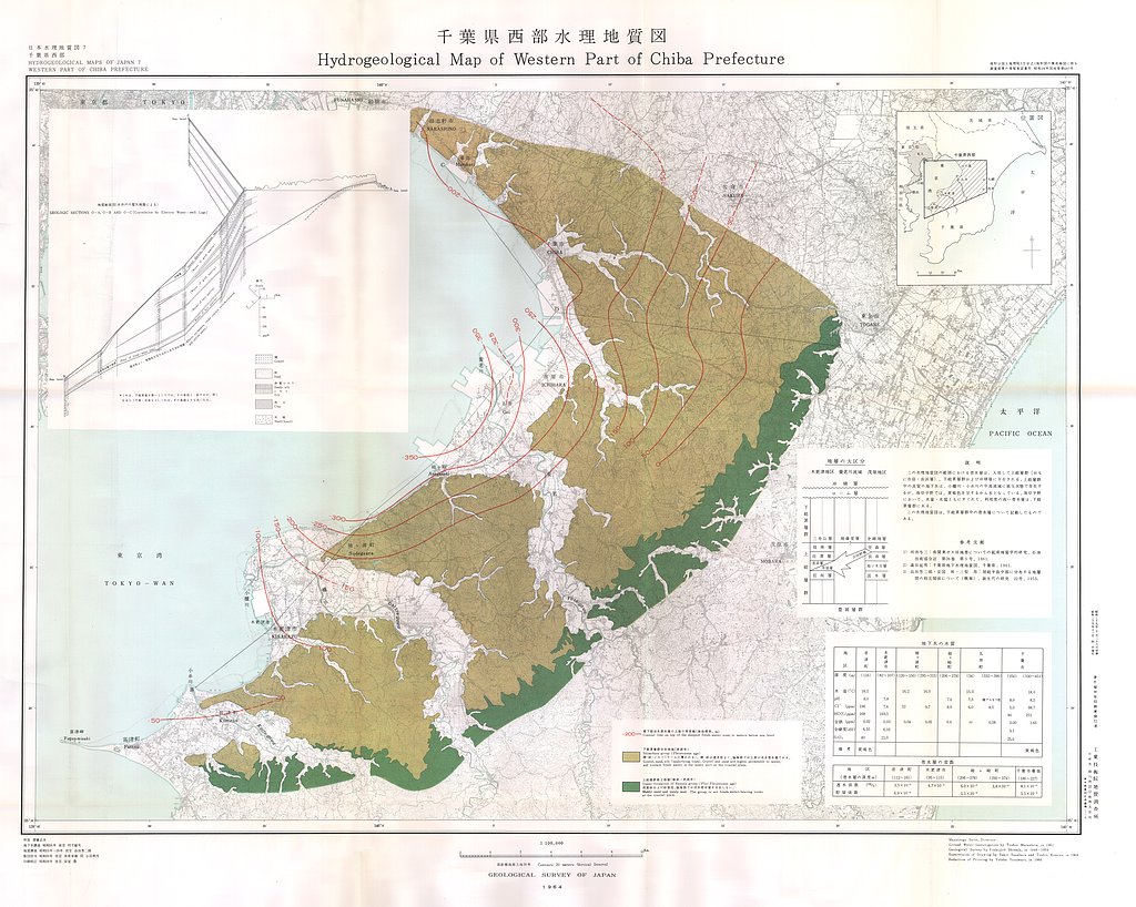
千葉西部水理地質図,1:100,000 (1964)
地質調査総合センター名称: 千葉西部水理地質図,1:100,000 / Hydrogeological Map of Western Part of Chiba Prefecture, 1:100,000 著者: 村下 敏夫, 品田 芳二郎 / MURASHITA Toshio, SHINADA Yoshijiro 発行年: 1964 シリーズ: 日本水理地質図 /... -
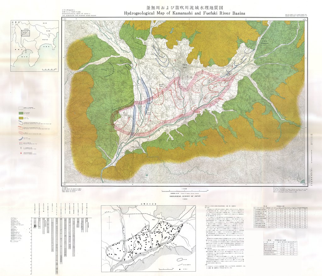
山梨県釜無川および笛吹川流域水理地質図,1:50,000 (1963)
地質調査総合センター名称: 山梨県釜無川および笛吹川流域水理地質図,1:50,000 / Hydrogeological Map of Kamanashi and Fuefuki River Basins, 1:50,000 著者: 高橋 稠, 後藤 隼次 / TAKAHASHI Shigeru, GOTO Hayaji 発行年: 1963 シリーズ: 日本水理地質図 /... -
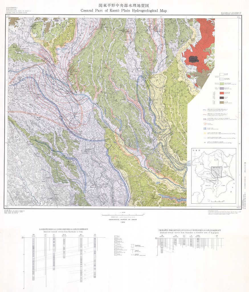
関東平野中央部水理地質図,1:100,000 (1962)
地質調査総合センター名称: 関東平野中央部水理地質図,1:100,000 / Hydrogeological Map and Explanatory Text of the Central Part of Kwanto Plain, 1:100,000 著者: 木野 義人, 安藤 武 / KINO Yoshito, ANDO Takeshi 発行年: 1962 シリーズ:... -
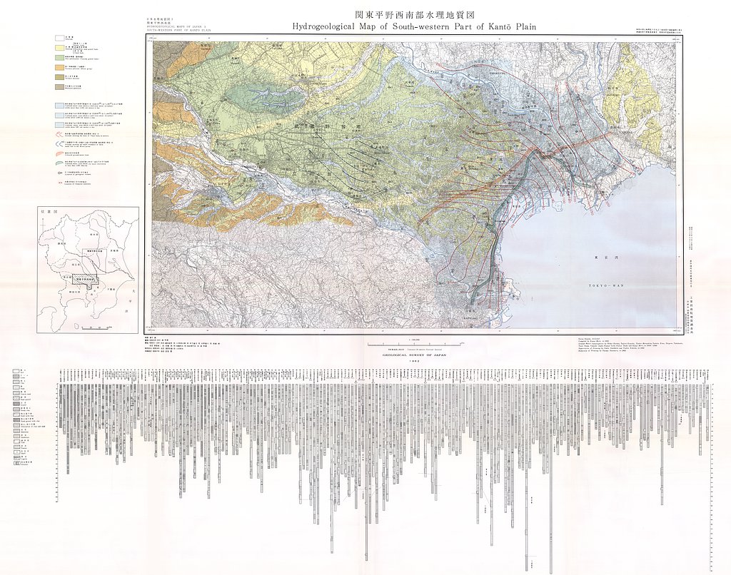
関東平野西南部水理地質図,1:100,000 (1962)
地質調査総合センター名称: 関東平野西南部水理地質図,1:100,000 / Hydrogeological Map and Explanatory Text of the Southwestern Part of Kwanto Plain, 1:100,000 著者: 森 和雄, 蔵田 延男, 小西 泰次郎, 村下 敏夫, 木野 義人, 高橋 稠, 野間 泰二, 安藤... -
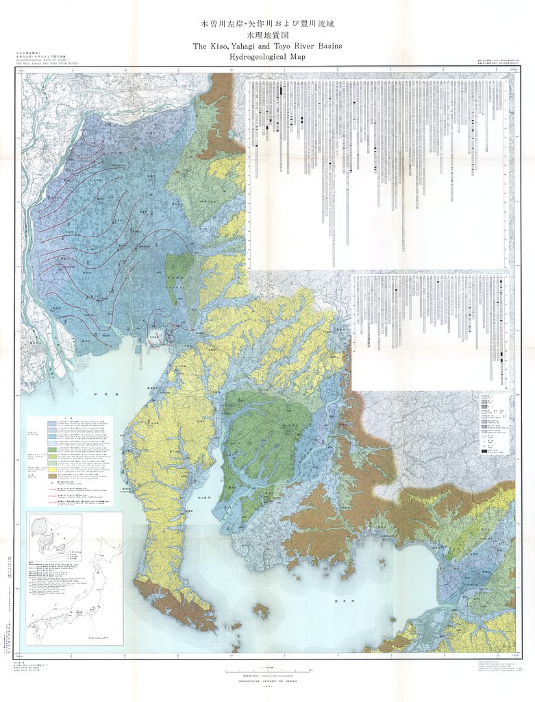
木曽川左岸・矢作川および豊川流域水理地質図,1:100,000 (1961)
地質調査総合センター名称: 木曽川左岸・矢作川および豊川流域水理地質図,1:100,000 / Hydrogeological Map and Explanatory Text of the Kiso, Yahagi and Toyo River Basins, 1:100,000 著者: 村下 敏夫, 武居 由之 / MURASHITA Toshio, TAKEI... -
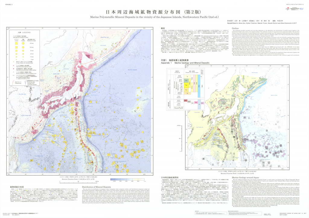
日本周辺海域鉱物資源分布図(第2版) 1:700万 (2017)
地質調査総合センター名称: 日本周辺海域鉱物資源分布図(第2版) 1:700万 / Marine Polymetallic Mineral Deposits in the Vicinity of the Japanese Islands, Northwest Pacific ( 2nd ed.) 著者: 発行年: 2017 シリーズ: 特殊地質図 /... -
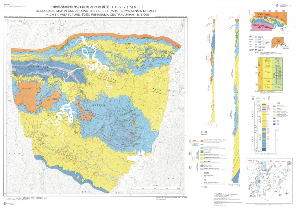
千葉県清和県民の森周辺の地質図 1:1.5万 (2008)
地質調査総合センター名称: 千葉県清和県民の森周辺の地質図 1:1.5万 / Geological Map in and Around the Forest Park, "Seiwa-Kenmin-no-Mori" in Chiba Prefecture, Boso Peninsula, Central Japan 著者: 発行年: 2008 シリーズ:... -
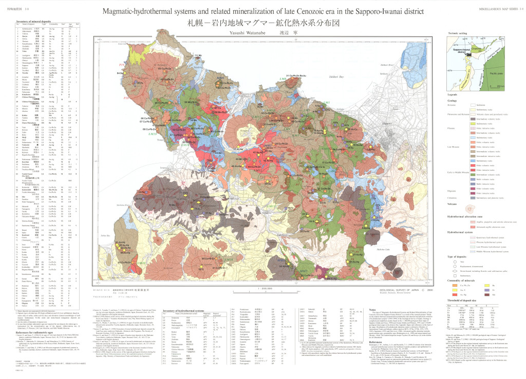
札幌−岩内地域マグマ-鉱化熱水系分布図,1:200,000 (2000)
地質調査総合センター名称: 札幌−岩内地域マグマ-鉱化熱水系分布図,1:200,000 / Magmatic-hydrothermal systems and related mineralization of late Cenozoic era in the Sapporo-Iwanai district, 1:200,000 著者: 渡辺 寧 / WATANABE... -
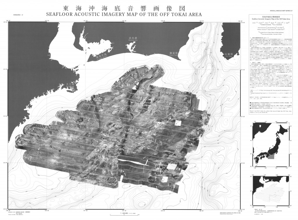
東海沖海底音響画像図,1:4,000,000 (1998)
地質調査総合センター名称: 東海沖海底音響画像図,1:4,000,000 / Seafloor Acoustic Imagery Map of the off Tokai Area, 1:4,000,000 著者: 倉本 真一, 岸本 清行, 中尾 征三, 徳山 英一, 山本 富士夫, 平 朝彦 / KURAMOTO Shin'ichi, KISHIMOTO... -
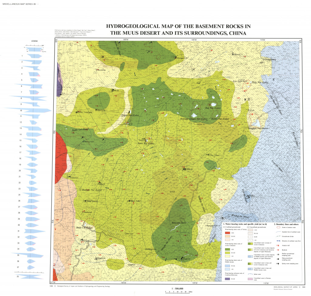
中国モウス沙漠および周辺地域の水文環境図 1:50万 (1998)
地質調査総合センター名称: 中国モウス沙漠および周辺地域の水文環境図 1:50万 / Hydro-Environmental Maps of the Muus Desert and its Surroundings, China 著者: 発行年: 1998 シリーズ: 特殊地質図 / Miscellaneous Map 発行者: マップ情報:... -
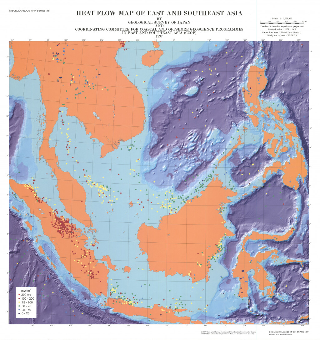
東・東南アジア熱流量図 (1997)
地質調査総合センター名称: 東・東南アジア熱流量図 / Heat Flow Map of East and Southeast Asia 著者: 発行年: 1997 シリーズ: 特殊地質図 / Miscellaneous Map 発行者: マップ情報: https://gbank.gsj.jp/ld/resource/publication/map/misc/map1368 -
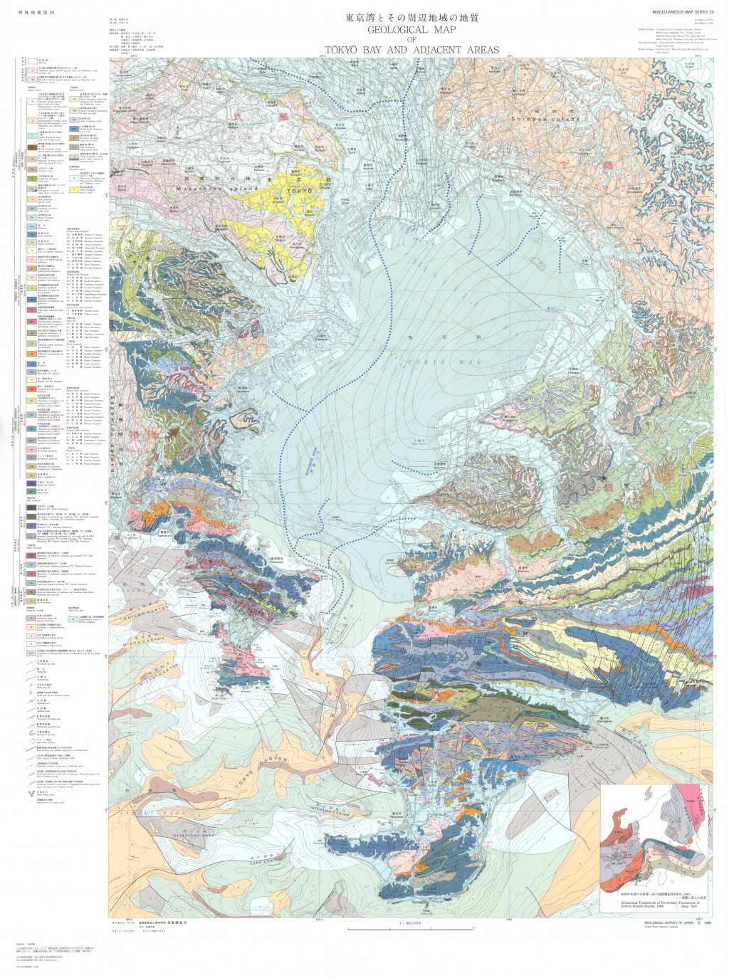
東京湾とその周辺地域の地質,1:100,000(第2版) (1995)
地質調査総合センター名称: 東京湾とその周辺地域の地質,1:100,000(第2版) / Geological Map of Tokyo Bay and Adjacent Areas 1:100,000 (2nd Edition) 著者: 鈴木 尉元, 小玉 喜三郎, 三梨 昂, 岡 重文, 卜部 厚志, 遠藤 毅, 堀口 万吉, 江藤 哲人, 菊地 隆男, 山内 靖喜,... -
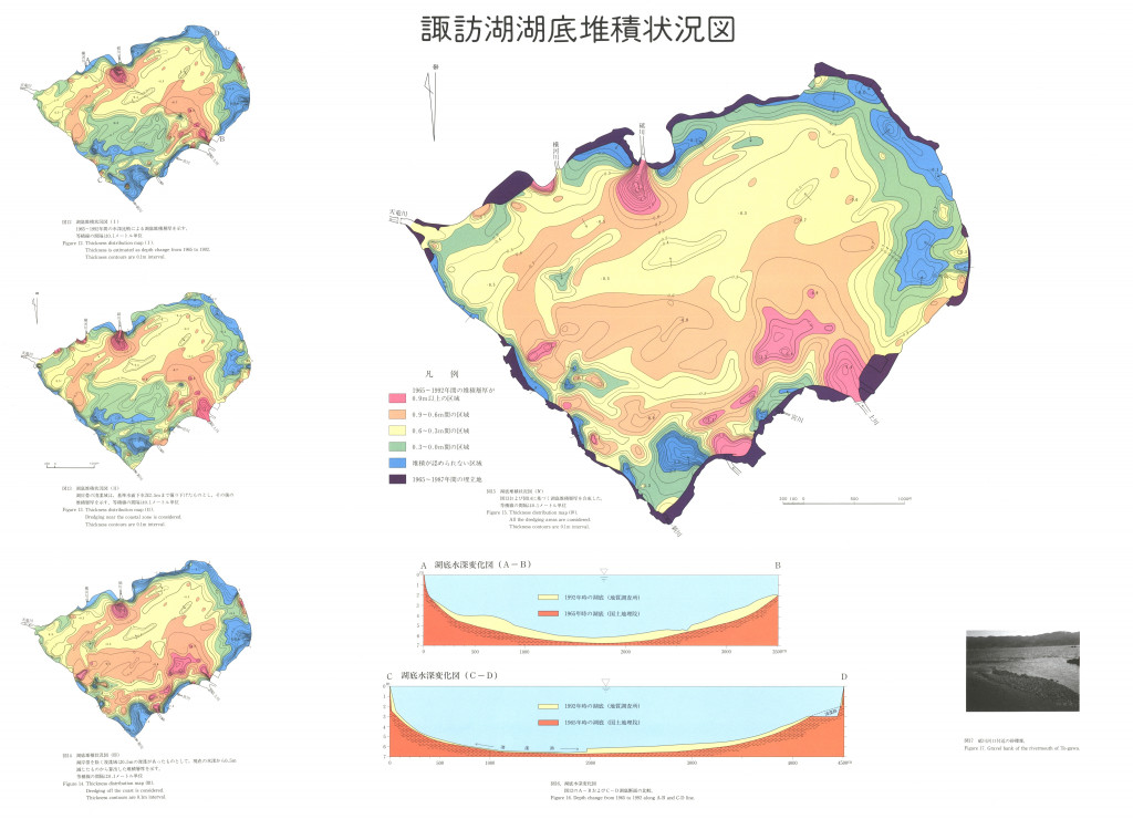
諏訪湖湖底堆積状況図 1:1.35万 (1995)
地質調査総合センター名称: 諏訪湖湖底堆積状況図 1:1.35万 / Thickness Distribution Map of Recent Sediments in Lake Suwa 著者: 発行年: 1995 シリーズ: 特殊地質図 / Miscellaneous Map 発行者: マップ情報:... -
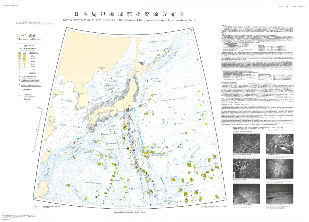
日本周辺海域鉱物資源分布図,1:7,000,000 (1994)
地質調査総合センター名称: 日本周辺海域鉱物資源分布図,1:7,000,000 / Marine Polymetallic Mineral Deposits in the Vicinity of the Japanese Island, Northwestern Pacific, 1:7,000,000 著者: 臼井 朗, 飯笹 幸吉, 棚橋 学 / USUI... -
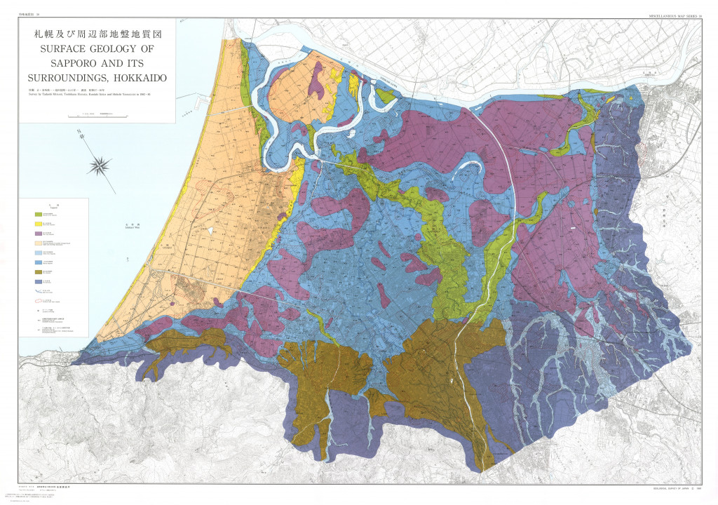
札幌及び周辺部地盤地質図,1:30,000 (1991)
地質調査総合センター名称: 札幌及び周辺部地盤地質図,1:30,000 / Surface Geology of Sapporo and its Surroundings, Hokkaido, 1:30,000, and Explanatory Text 著者: 村瀬 正, 羽坂 俊一, 池田 国昭, 山口 昇一 / MURASE Tadashi, HASAKA... -
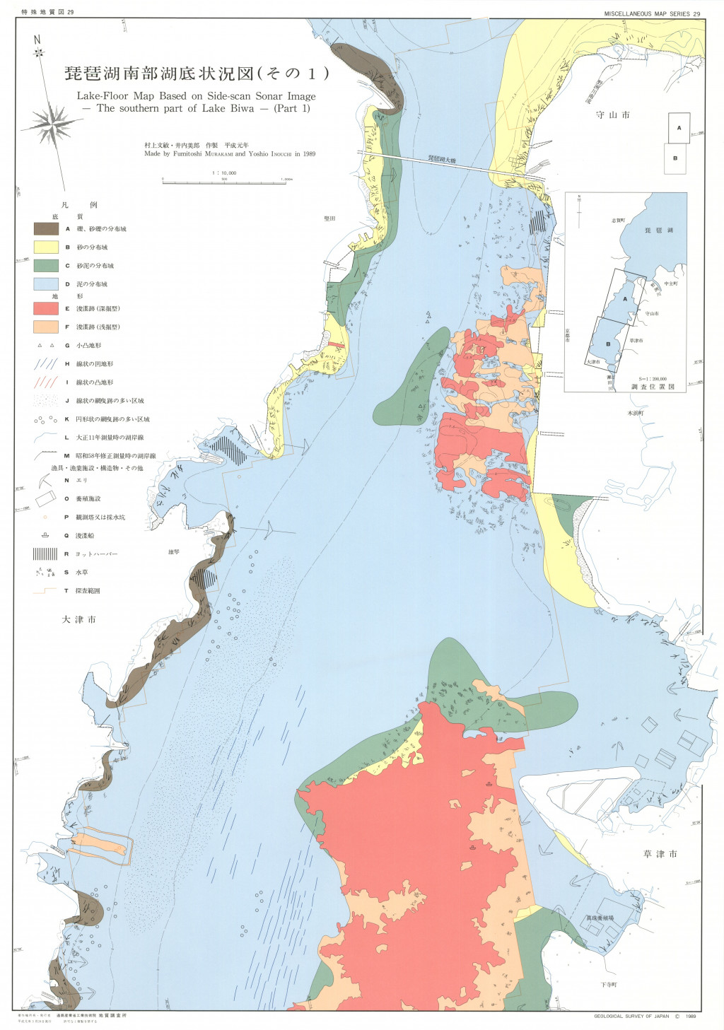
琵琶湖南部湖底状況図,1:10,000 (1989)
地質調査総合センター名称: 琵琶湖南部湖底状況図,1:10,000 / Lake-Floor Map Based on Side-Scan Sonar Image - the Southern Part of Lake Biwa -, 1:10000 著者: 村上 文敏, 井内 美郎 / MURAKAMI Fumitoshi, INOUCHI Yoshio 発行年:...
