
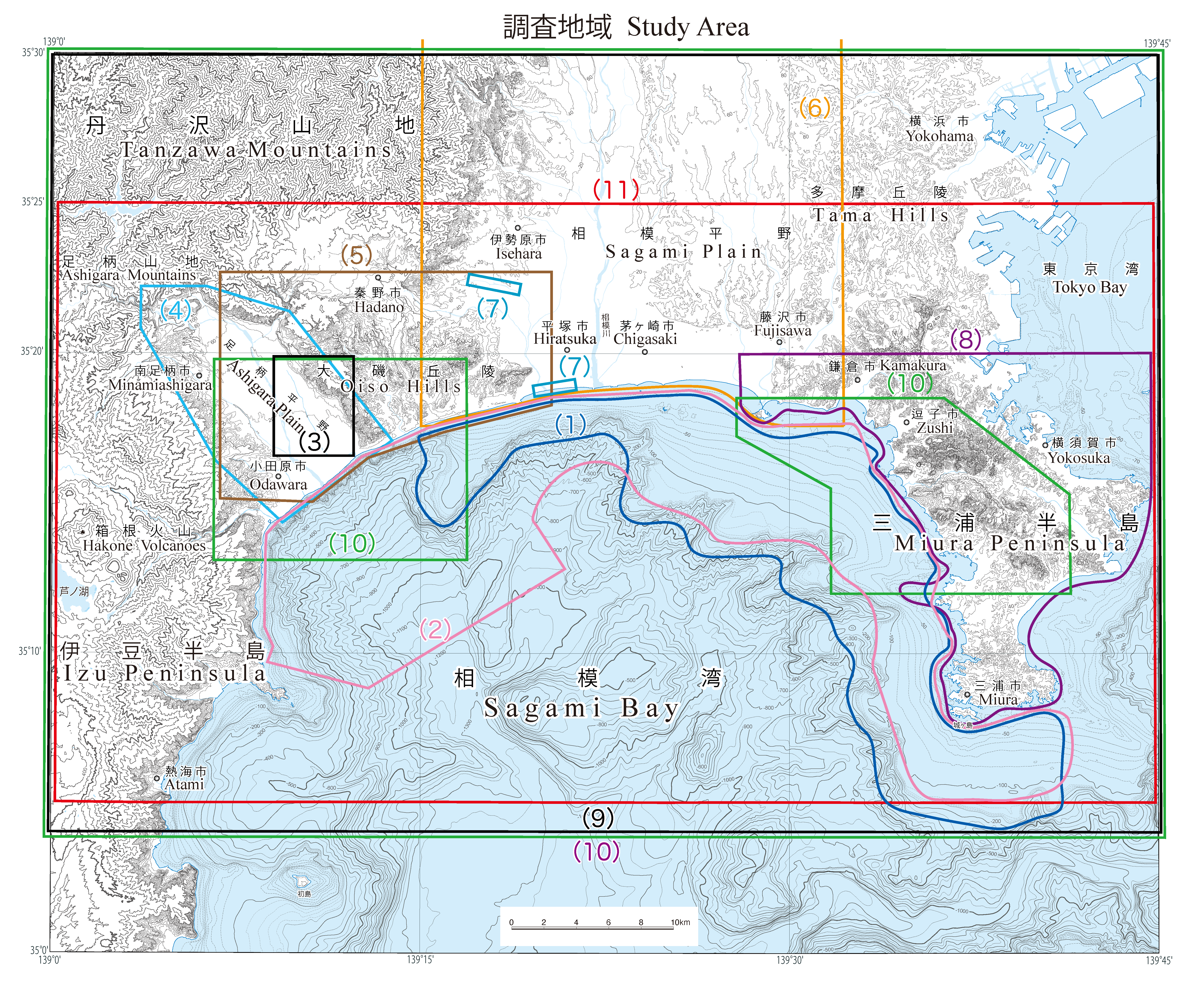
相模湾沿岸域: 調査地域マップ
URL: https://www.gsj.jp/data/coastal-geology/GSJ_SGMCZ_S7_2021_study_map.png
調査地域マップ: ファイルサイズは 2.21 MB です。
There are no views created for this resource yet.
Additional Information
| Field | Value |
|---|---|
| Resource id | 9ce4f555-cf0a-4408-8152-13e1b78e90a6 |
| Last updated | December 13, 2023, 16:30 (+0900) |
| Created | December 13, 2023, 16:30 (+0900) |
| Format | image/png |
| License | 政府標準利用規約 (第2.0版) |