-
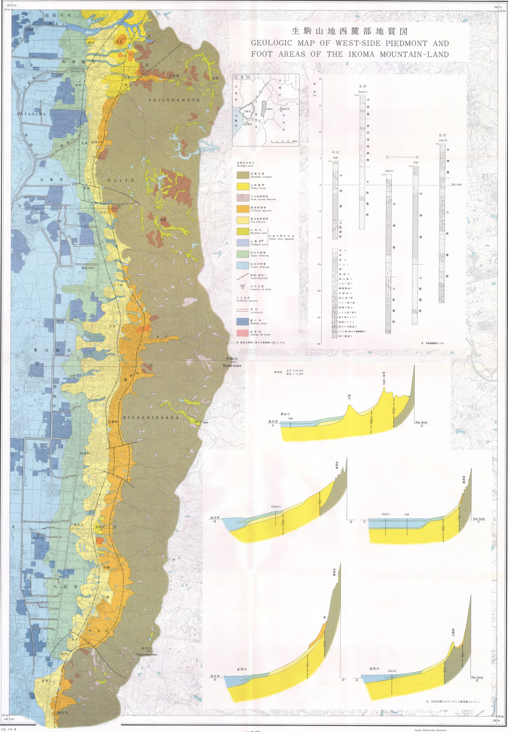
生駒山地西麓部地質図,1:25,000「生駒山地西麓の地形と地質−−山麓堆積地の地質研究の一方法−−」 (1972)
地質調査総合センター名称: 生駒山地西麓部地質図,1:25,000「生駒山地西麓の地形と地質−−山麓堆積地の地質研究の一方法−−」 / Geologic Map of West-Side Piedmont and Foot Areas of the Ikoma Mountain-Land, 1:25,000 with Explanatory Text,... -
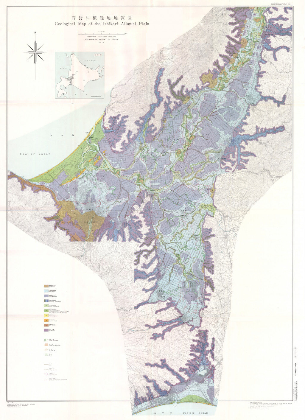
石狩沖積低地地質図,1:100,000,沖積低地の地質調査および地質図表現の新方法について--石狩平野を例として-- (1972)
地質調査総合センター名称: 石狩沖積低地地質図,1:100,000,沖積低地の地質調査および地質図表現の新方法について--石狩平野を例として-- / Geological Map of the Ishikari Alluvial Plain, 1:100,000, On the Introduction of New Methods into Surface... -
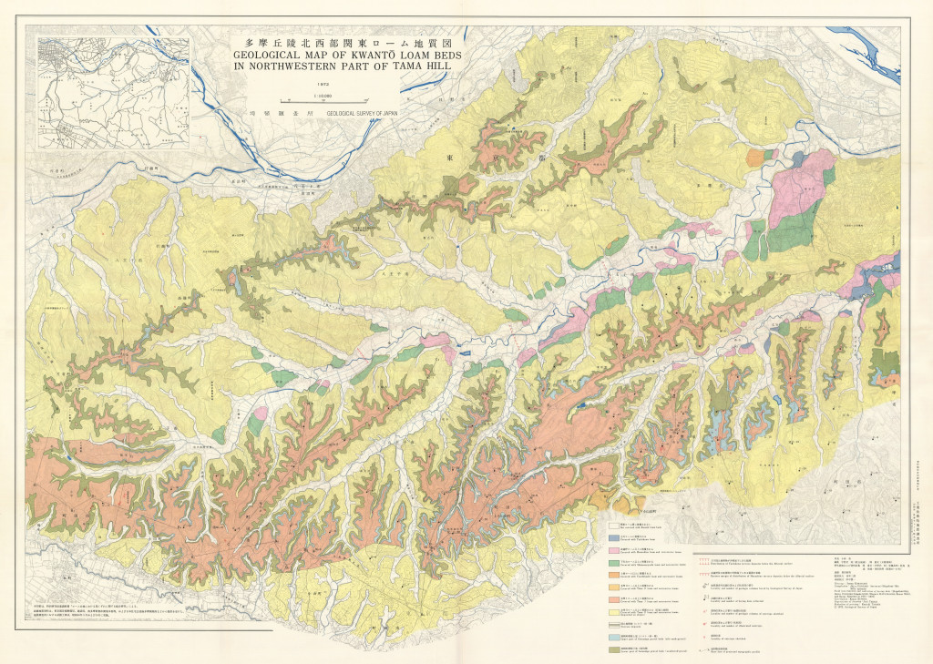
16-1 多摩丘陵北西部関東ローム地質図,1:10,000および補説 (1989)
地質調査総合センター名称: 16-1 多摩丘陵北西部関東ローム地質図,1:10,000および補説 / 16-1 Geological Map of Kwanto Loam Beds in North Western Part of Tama Hill, 1:10,000 著者: 宇野沢 昭, 岡 重文, 黒田 和男 / UNOZAWA Akira, OKA... -
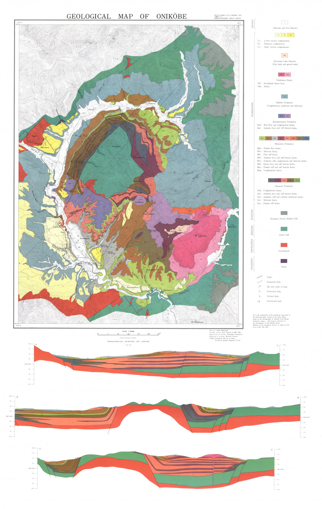
鬼首地質図,1:25,000 (1972)
地質調査総合センター名称: 鬼首地質図,1:25,000 / Geological Map of Onikobe, 1:25,000 著者: 山田 営三 / YAMADA Eizo 発行年: 1972 シリーズ: 特殊地質図 / Miscellaneous Map Series 発行者: 地質調査所 / Geological Survey of Japan マップ情報:... -
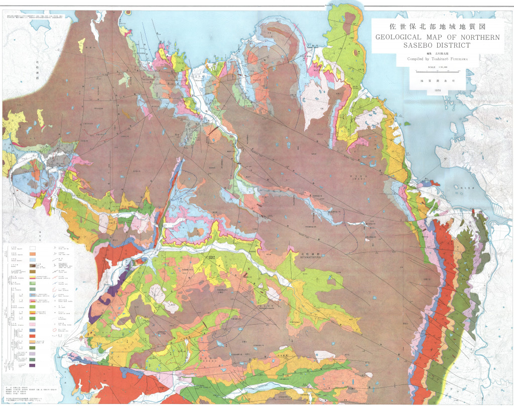
佐世保北部地域地質図,1:25,000 (1970)
地質調査総合センター名称: 佐世保北部地域地質図,1:25,000 / Geological Map of Northern Sasebo District, 1:25,000 著者: 古川 俊太郎 / FURUKAWA Toshitaro 発行年: 1970 シリーズ: 特殊地質図 / Miscellaneous Map Series 発行者: 地質調査所 /... -
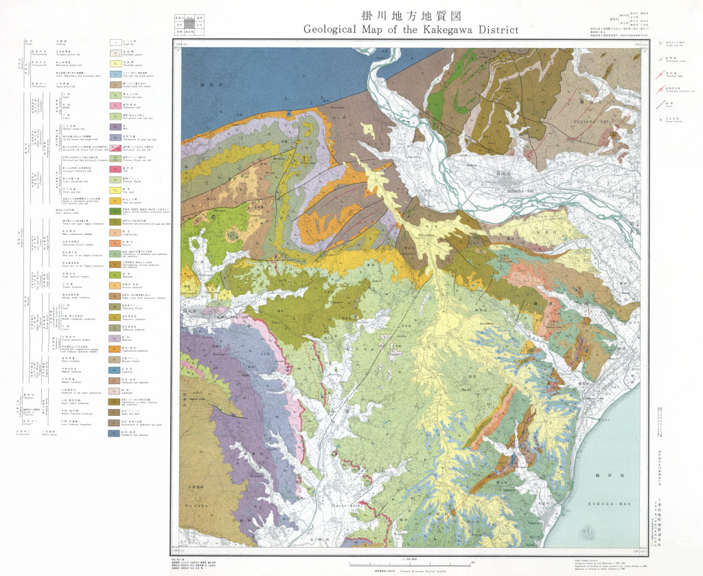
掛川地方地質図,1:50,000 (1963)
地質調査総合センター名称: 掛川地方地質図,1:50,000 / Geological Map of the Kakegawa District, 1:50,000 and Explanatory Text 著者: 槙山 次郎 / Jiro MAKIYAMA 発行年: 1963 シリーズ: 特殊地質図 / Miscellaneous Map Series 発行者:... -
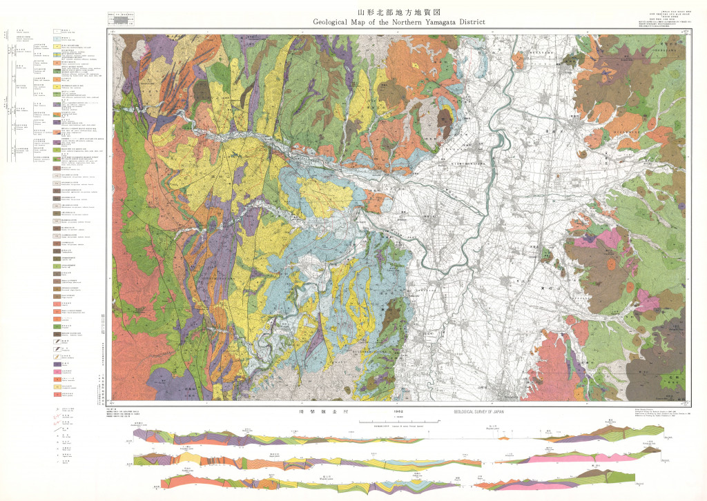
山形市北部地方地質図,1:50,000 (1962)
地質調査総合センター名称: 山形市北部地方地質図,1:50,000 / Geological Map of the Northern Yamagata District with Explanatory Text, 1:50,000 著者: 別所 文吉 / BESSHO Bunkichi 発行年: 1962 シリーズ: 特殊地質図 / Miscellaneous Map... -
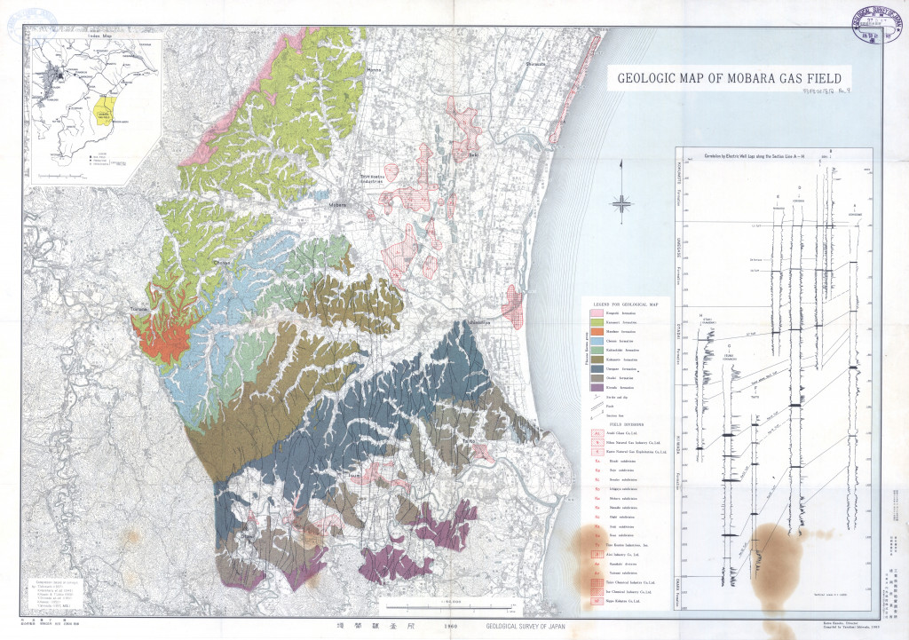
茂原ガス田地質図 (1960)
地質調査総合センター名称: 茂原ガス田地質図 / Geological Map of Mobara Gas Field 著者: 発行年: 1960 シリーズ: 特殊地質図 / Miscellaneous Map 発行者: マップ情報: https://gbank.gsj.jp/ld/resource/publication/map/misc/map1367 -
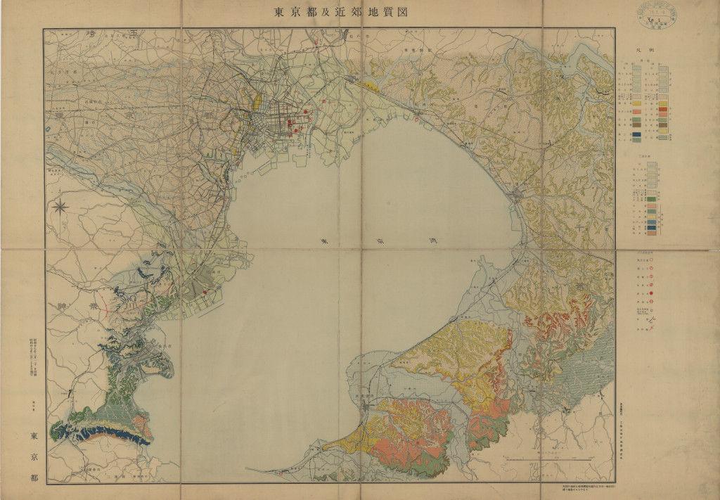
東京都及近郊地質図 1:10万 (1952)
地質調査総合センター名称: 東京都及近郊地質図 1:10万 / Geological Map of Tokyo 著者: 発行年: 1952 シリーズ: 特殊地質図 / Miscellaneous Map 発行者: マップ情報: https://gbank.gsj.jp/ld/resource/publication/map/misc/map1365 -
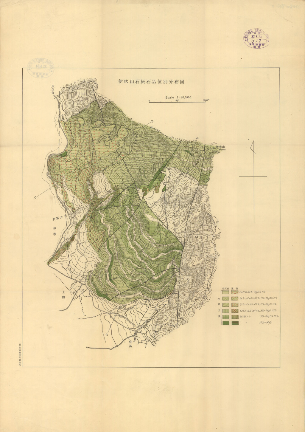
伊吹山石灰石品位別分布図 1:1万 (1952)
地質調査総合センター名称: 伊吹山石灰石品位別分布図 1:1万 / Ibukiyama 著者: 発行年: 1952 シリーズ: 特殊地質図 / Miscellaneous Map 発行者: マップ情報: https://gbank.gsj.jp/ld/resource/publication/map/misc/map1366 -
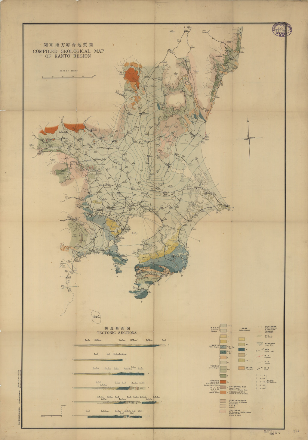
関東地方綜合地質図 1:40万 (1951)
地質調査総合センター名称: 関東地方綜合地質図 1:40万 / Geological Map of Kanto Region 著者: 発行年: 1951 シリーズ: 特殊地質図 / Miscellaneous Map 発行者: マップ情報: https://gbank.gsj.jp/ld/resource/publication/map/misc/map1364 -
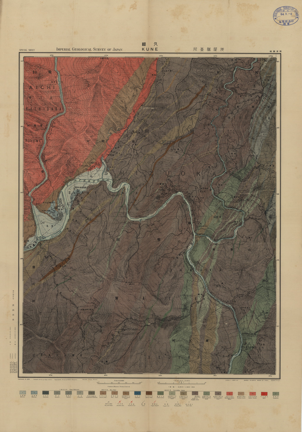
久根精査図幅 1:1.5万 (1923)
地質調査総合センター名称: 久根精査図幅 1:1.5万 / Kune 著者: 発行年: 1923 シリーズ: 特殊地質図 / Miscellaneous Map 発行者: マップ情報: https://gbank.gsj.jp/ld/resource/publication/map/misc/map1363 -
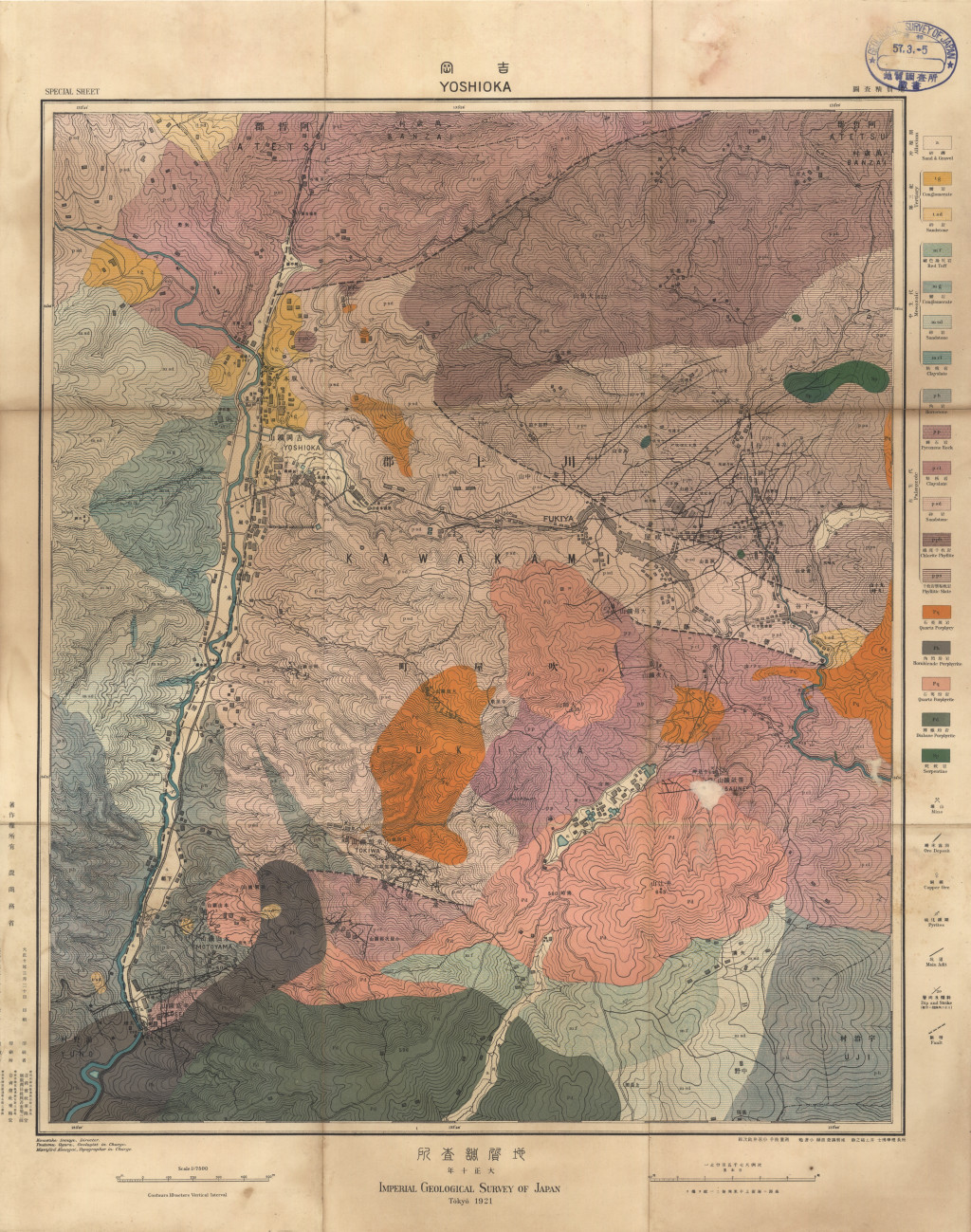
吉岡地質精査図 1:7.5千 (1921)
地質調査総合センター名称: 吉岡地質精査図 1:7.5千 / Yoshioka 著者: 発行年: 1921 シリーズ: 特殊地質図 / Miscellaneous Map 発行者: マップ情報: https://gbank.gsj.jp/ld/resource/publication/map/misc/map1362 -
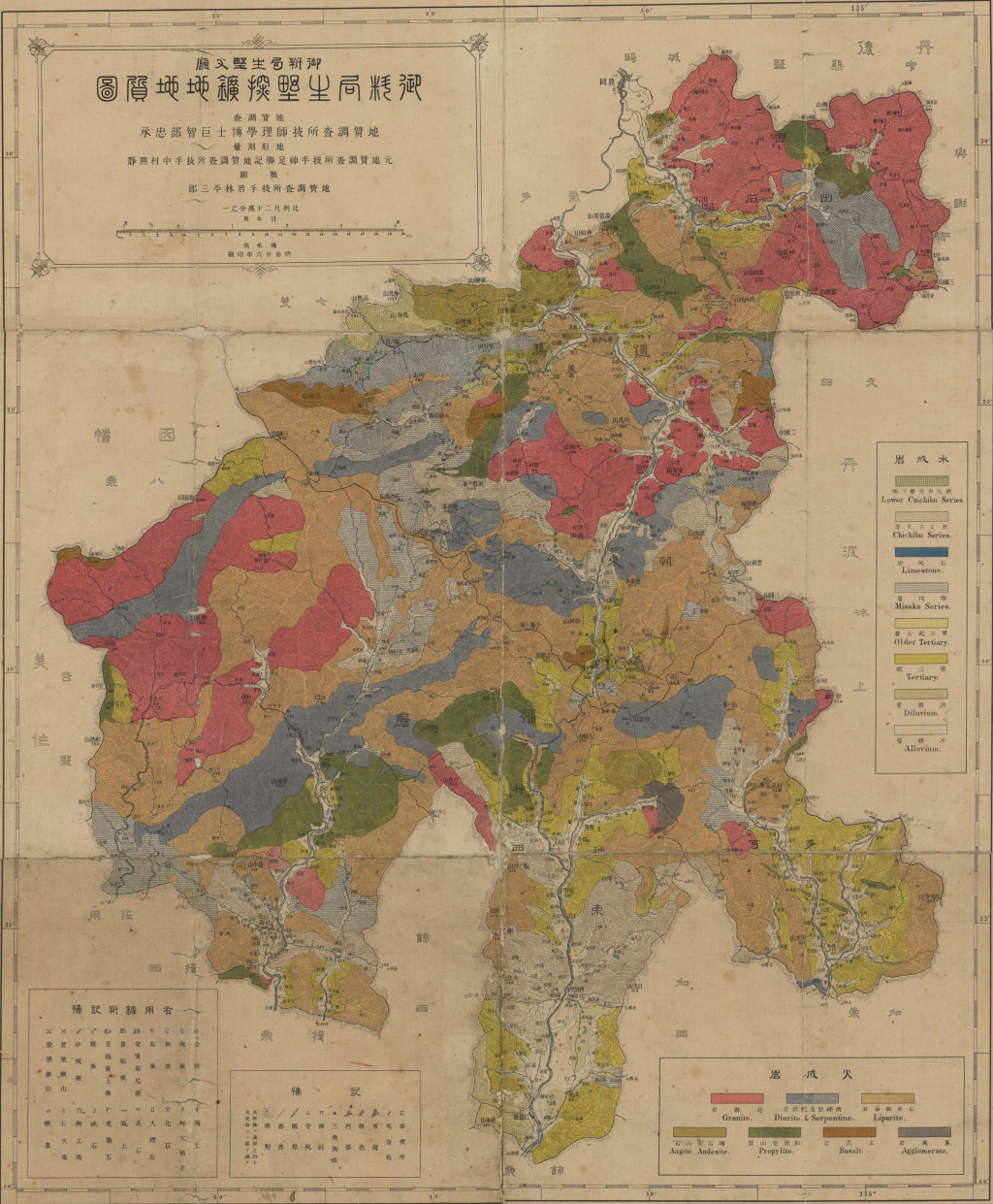
御料局生野探鉱地地質図 1:20万 (1893)
地質調査総合センター名称: 御料局生野探鉱地地質図 1:20万 / Geological Map of Ikuno Area 著者: 発行年: 1893 シリーズ: 特殊地質図 / Miscellaneous Map 発行者: マップ情報: https://gbank.gsj.jp/ld/resource/publication/map/misc/map1361 -
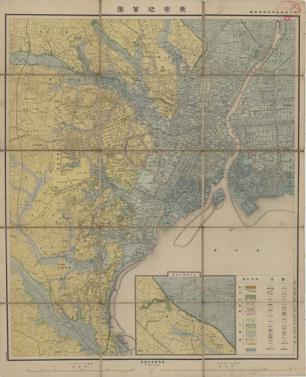
東京地質図 1:2万 (1888)
地質調査総合センター名称: 東京地質図 1:2万 / Geological Map of Tokyo 著者: 発行年: 1888 シリーズ: 特殊地質図 / Miscellaneous Map 発行者: マップ情報: https://gbank.gsj.jp/ld/resource/publication/map/misc/map1359
